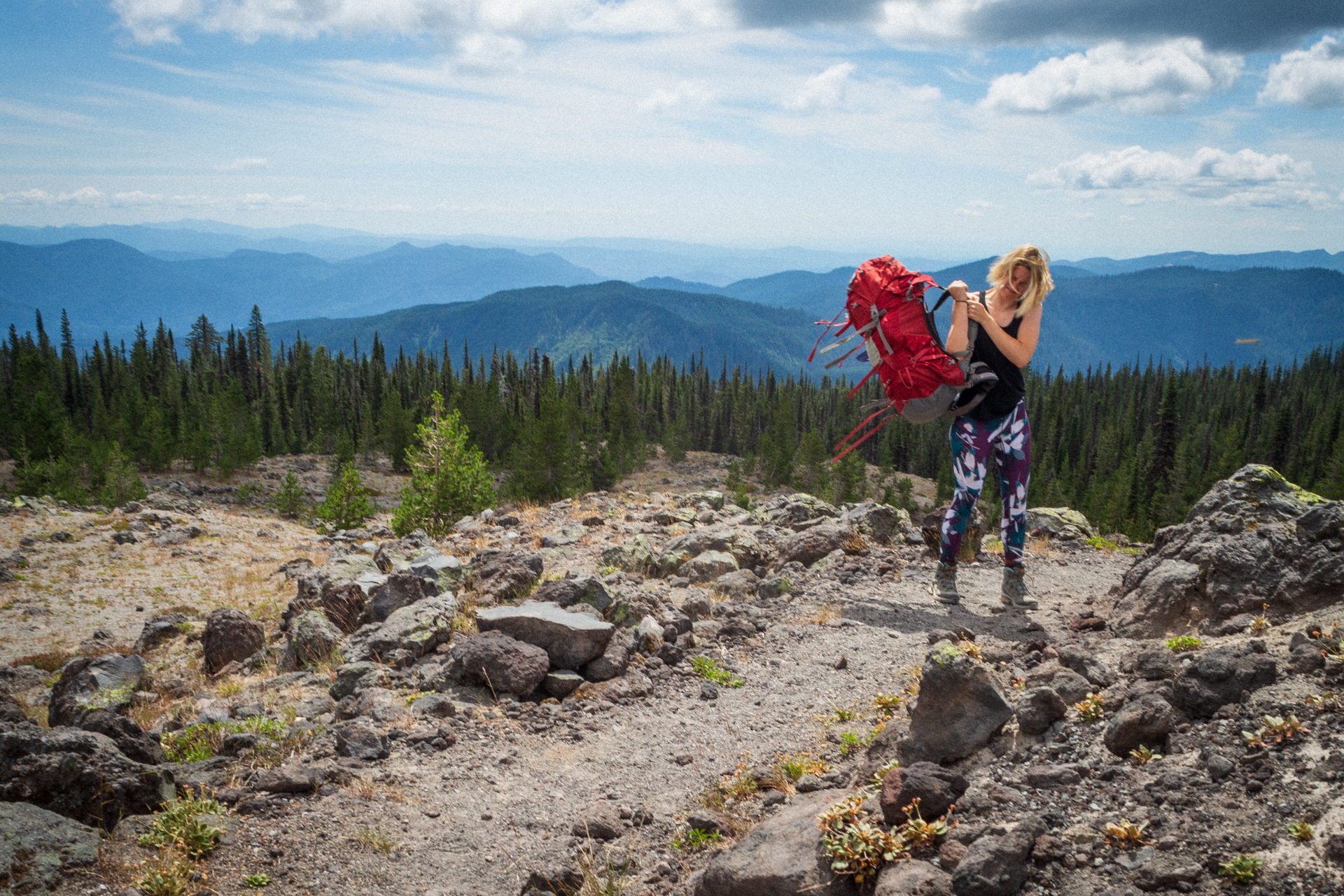
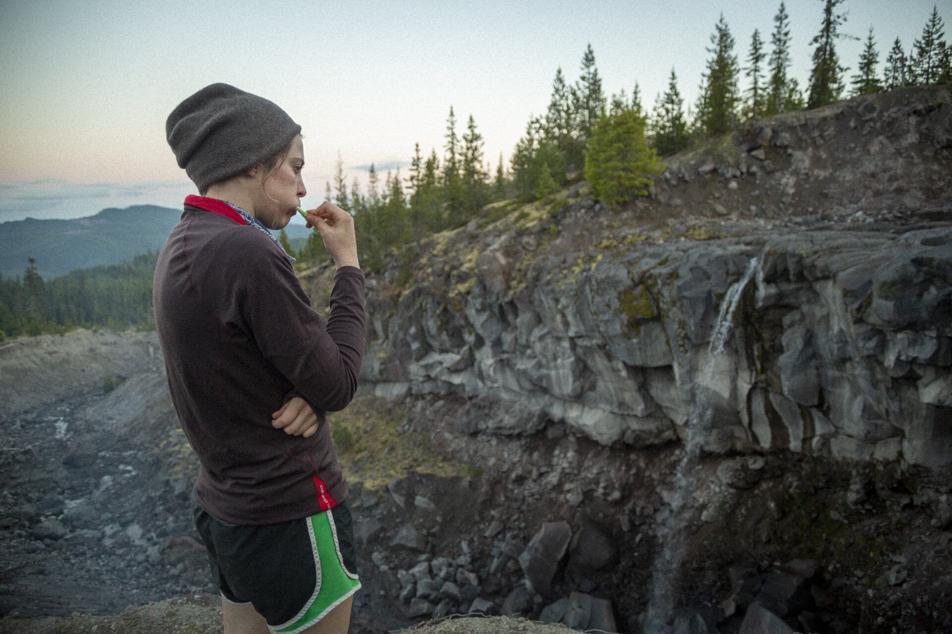
By the time the 4th of July rolls around, we’re usually a dozen strenuous hikes and perhaps 3-4 backpacking trips in. But due to the pandemic, our hiking season has gotten off to a late start. This was our first backpacking trip of the year and over the course of three days and 34 miles, it pushed our soft, untoned, homebound bodies to their limits. It was also one of the most dramatic hikes I’ve been on in the PNW. The landscape seemed to change every mile or so, giving us new vistas and new challenges. Fortunately, the weather was cool and we managed to hike the entire trail without a single mosquito bite, which is unheard of in the PNW in July.
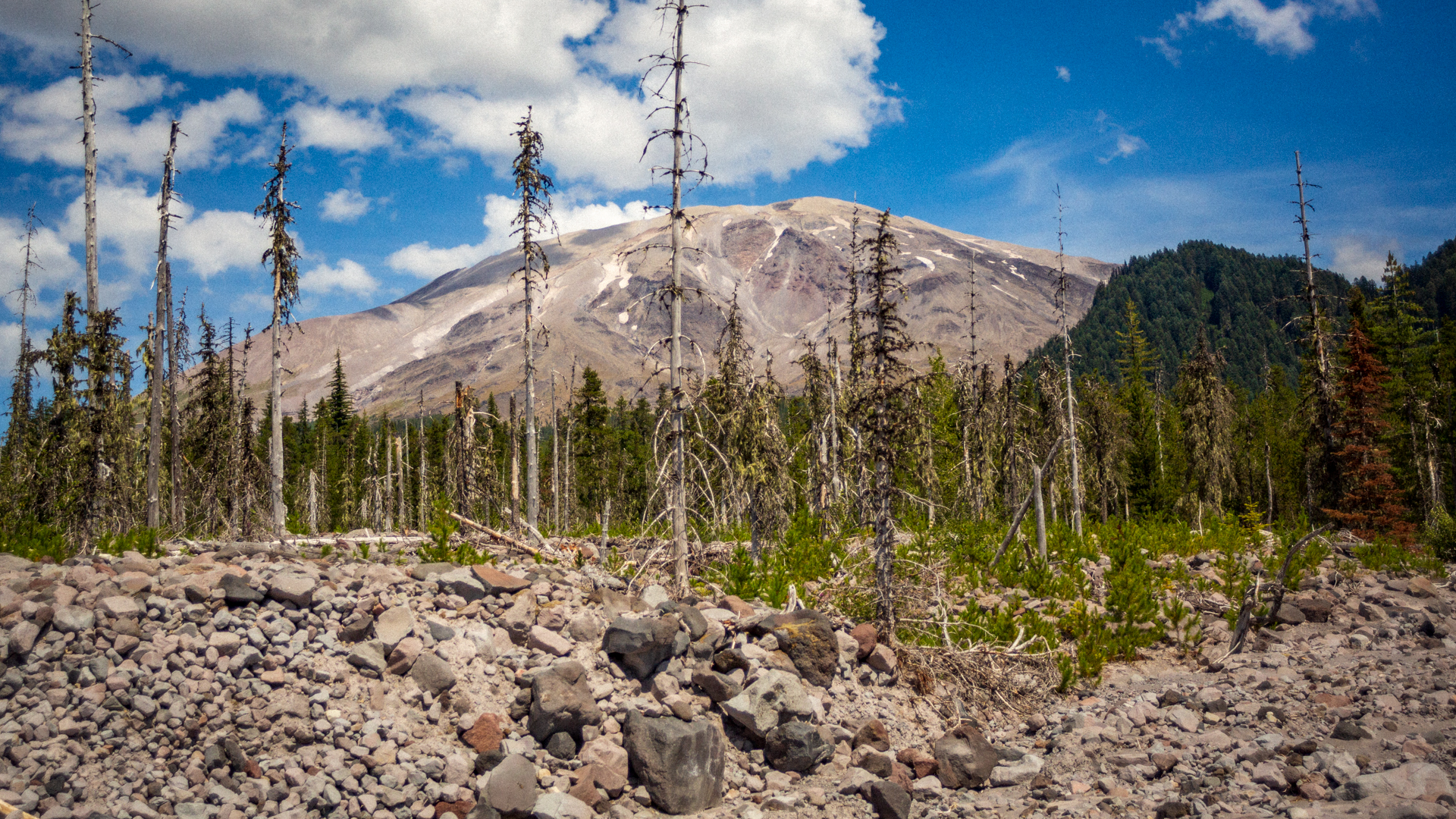
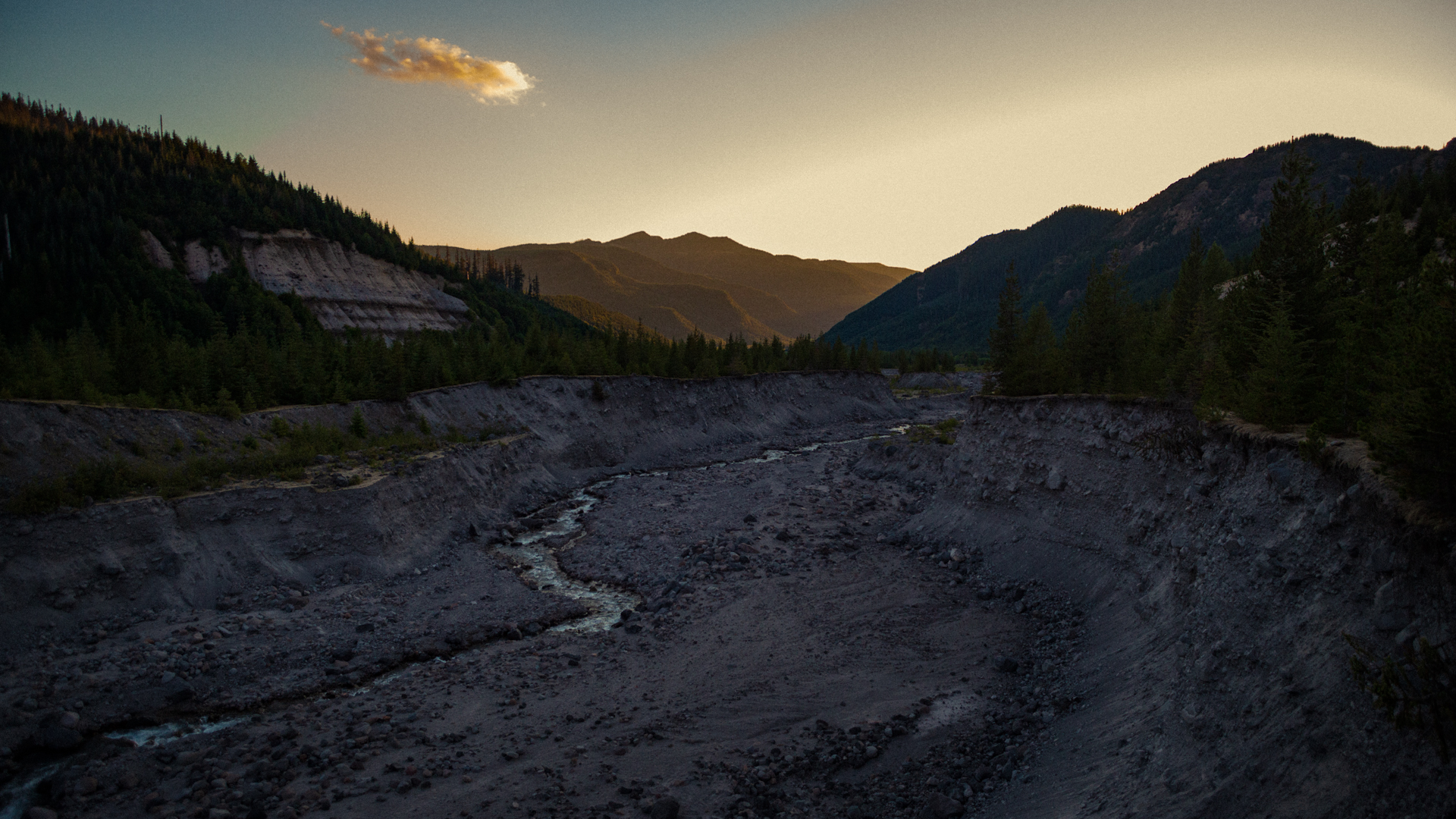
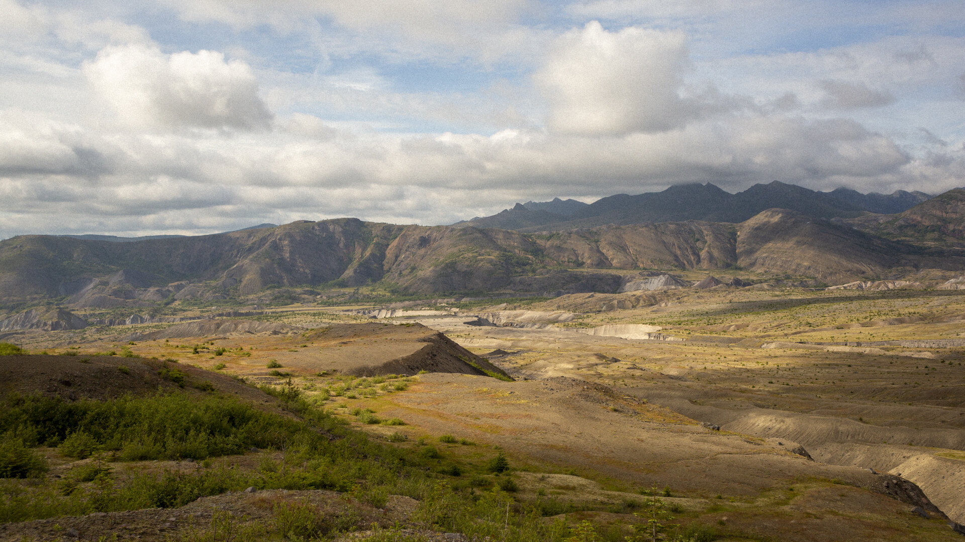
We started at Windy Ridge and worked our way counter-clockwise, taking in the barren expanses of the blast zone. The crater and lava dome were largely obscured by clouds but that didn’t keep us from enjoying the views. There were even a few waterfalls. It reminded me of pictures of Iceland I’ve seen.
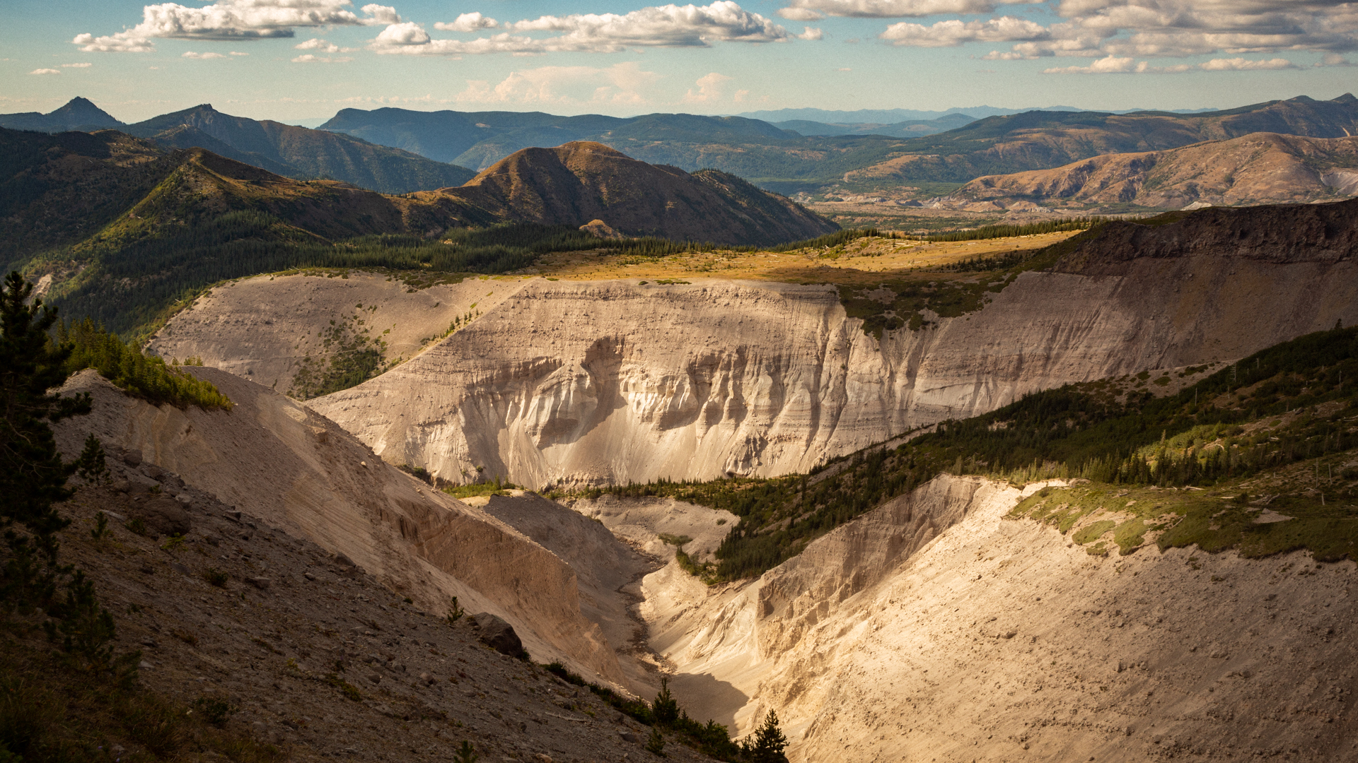
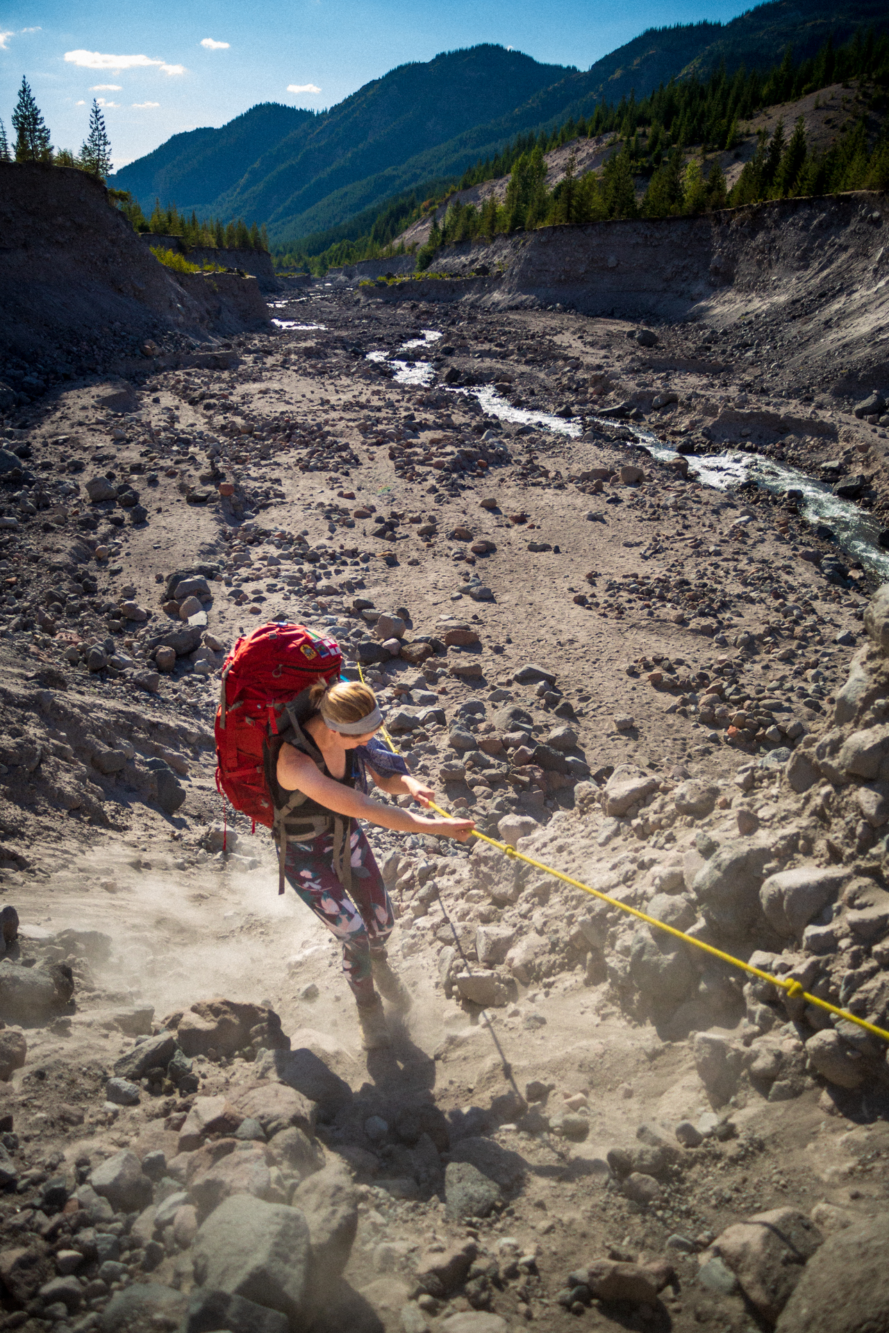
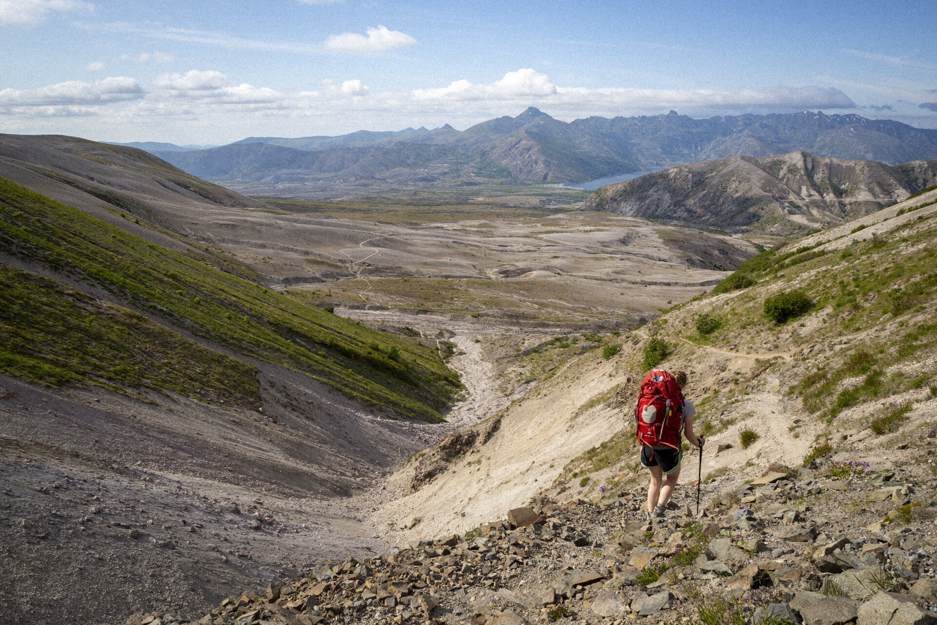
The barren and rocky landscape eventually gave way to the grassy highlands above a massive convergence of canyons, at the bottom of which was the Toutle River. We made camp along with a dozen other tents at South Fork Toutle River and barely slept at all. We’d gotten too used to beds!
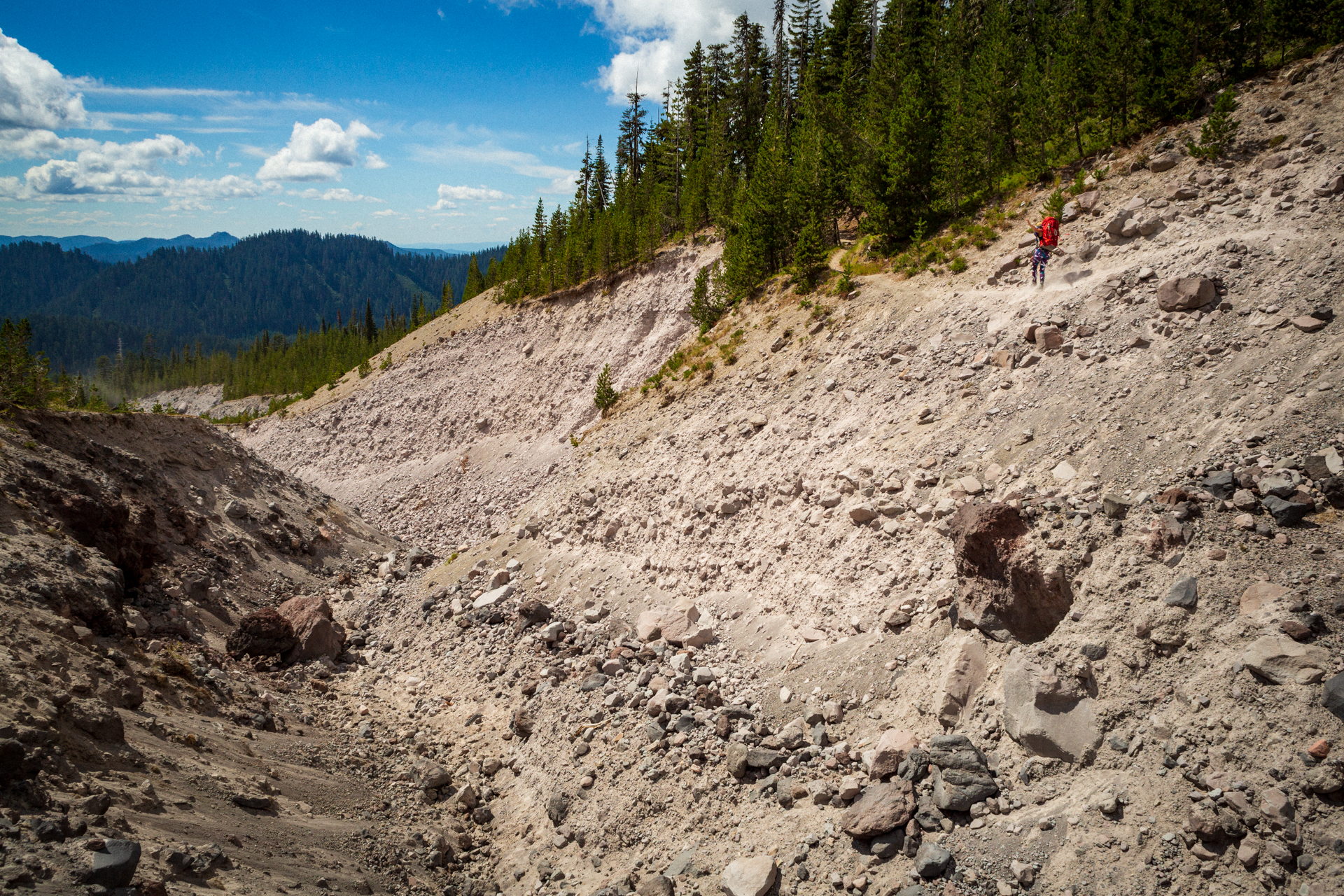
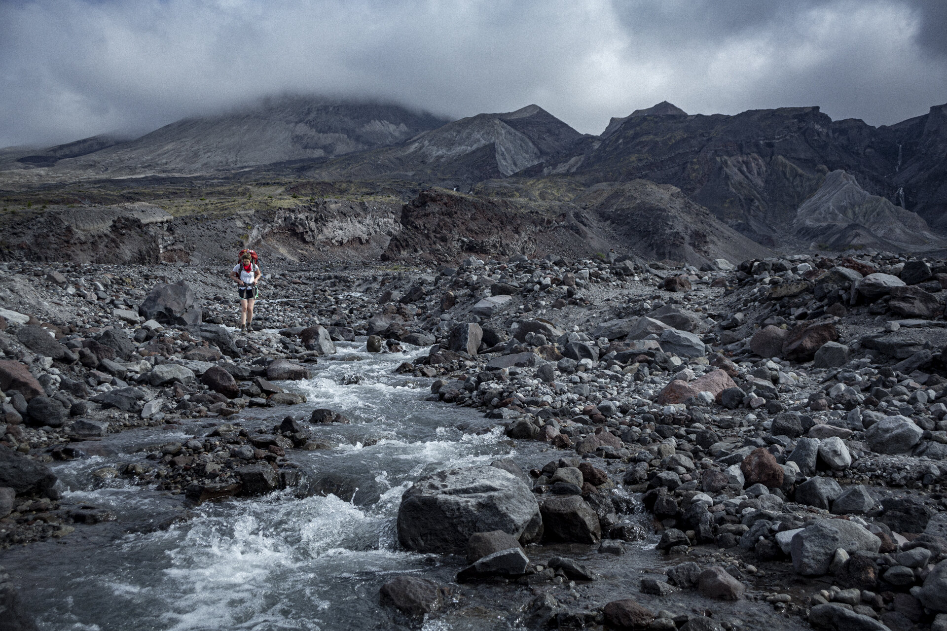
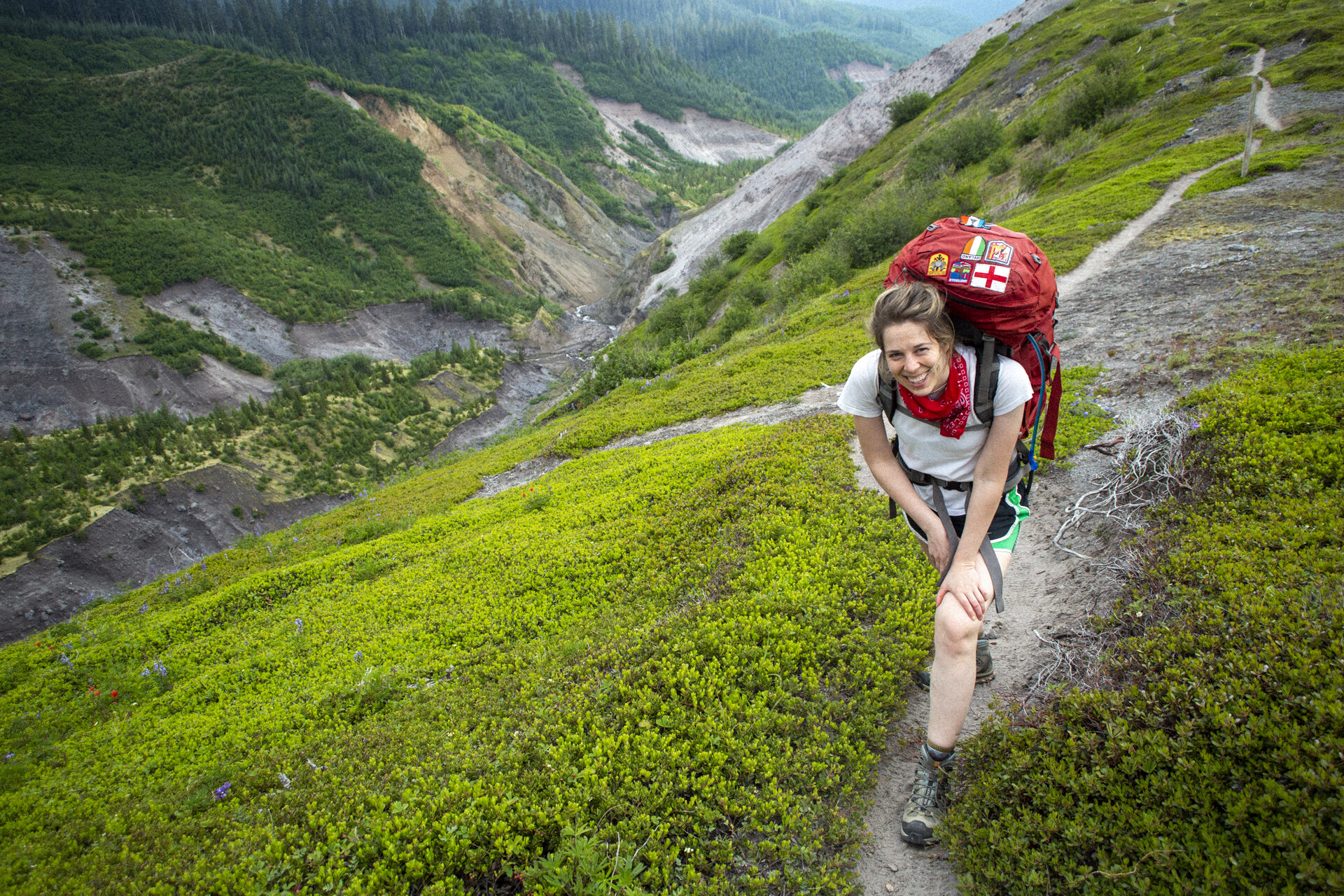
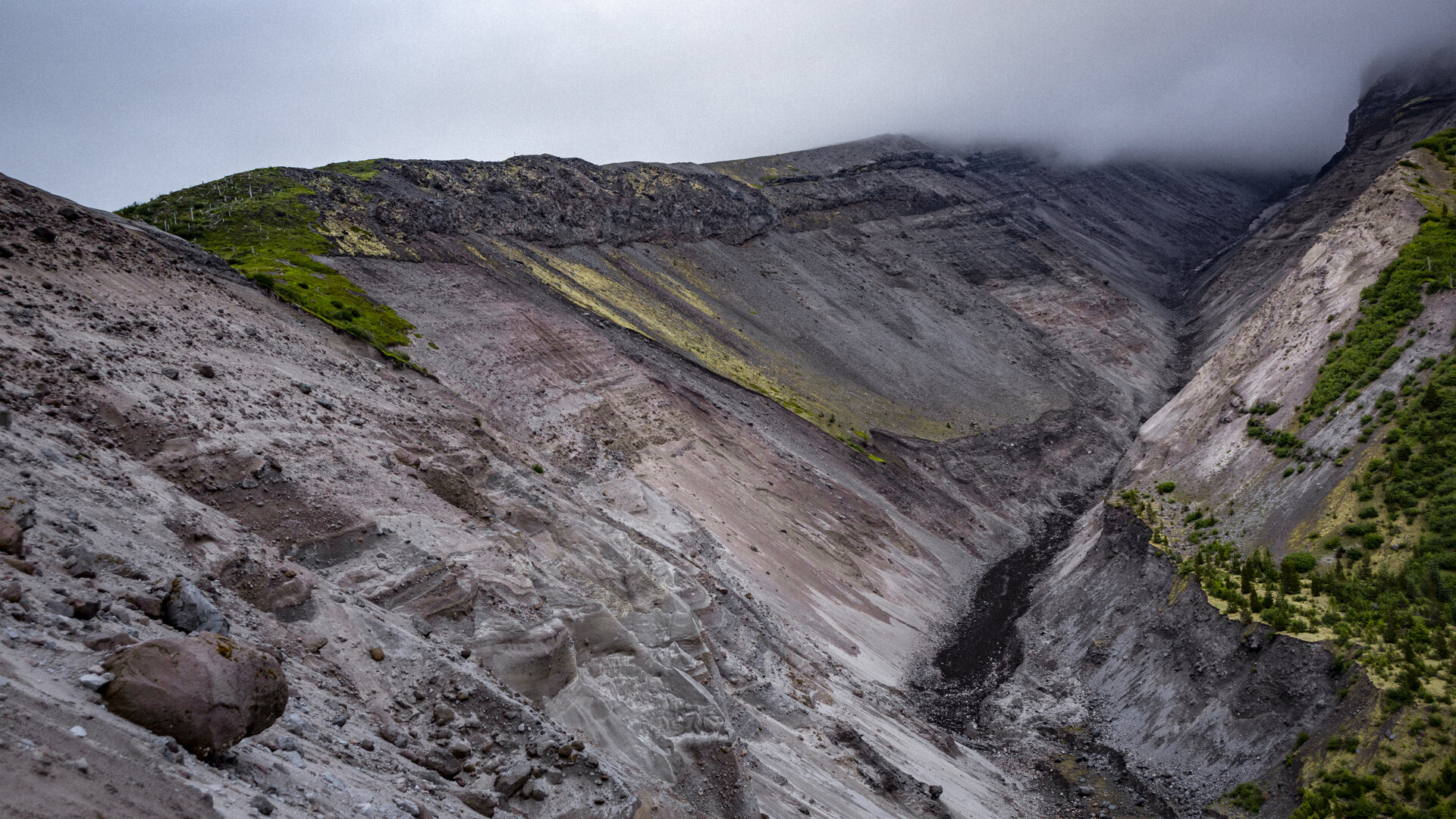
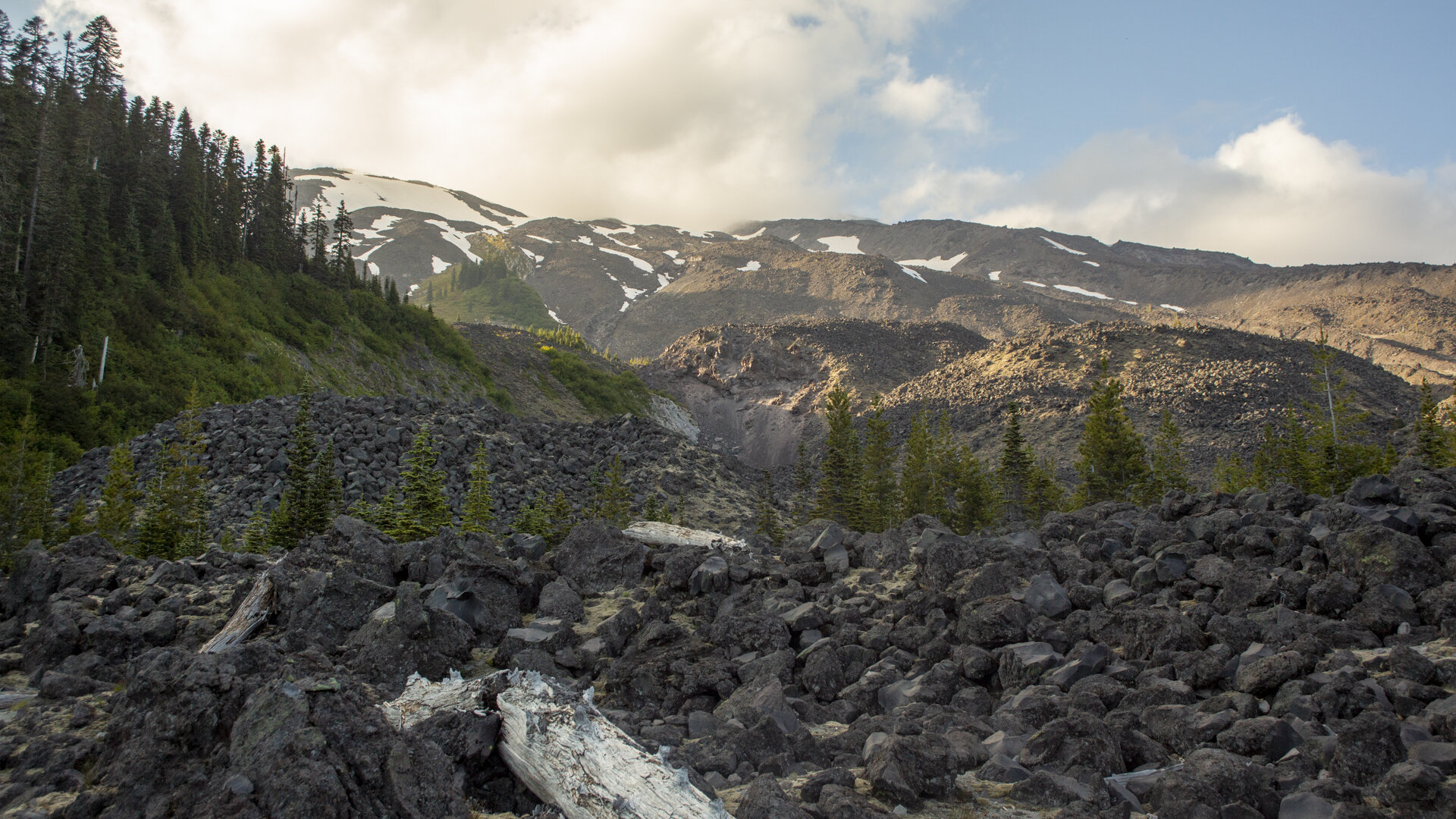
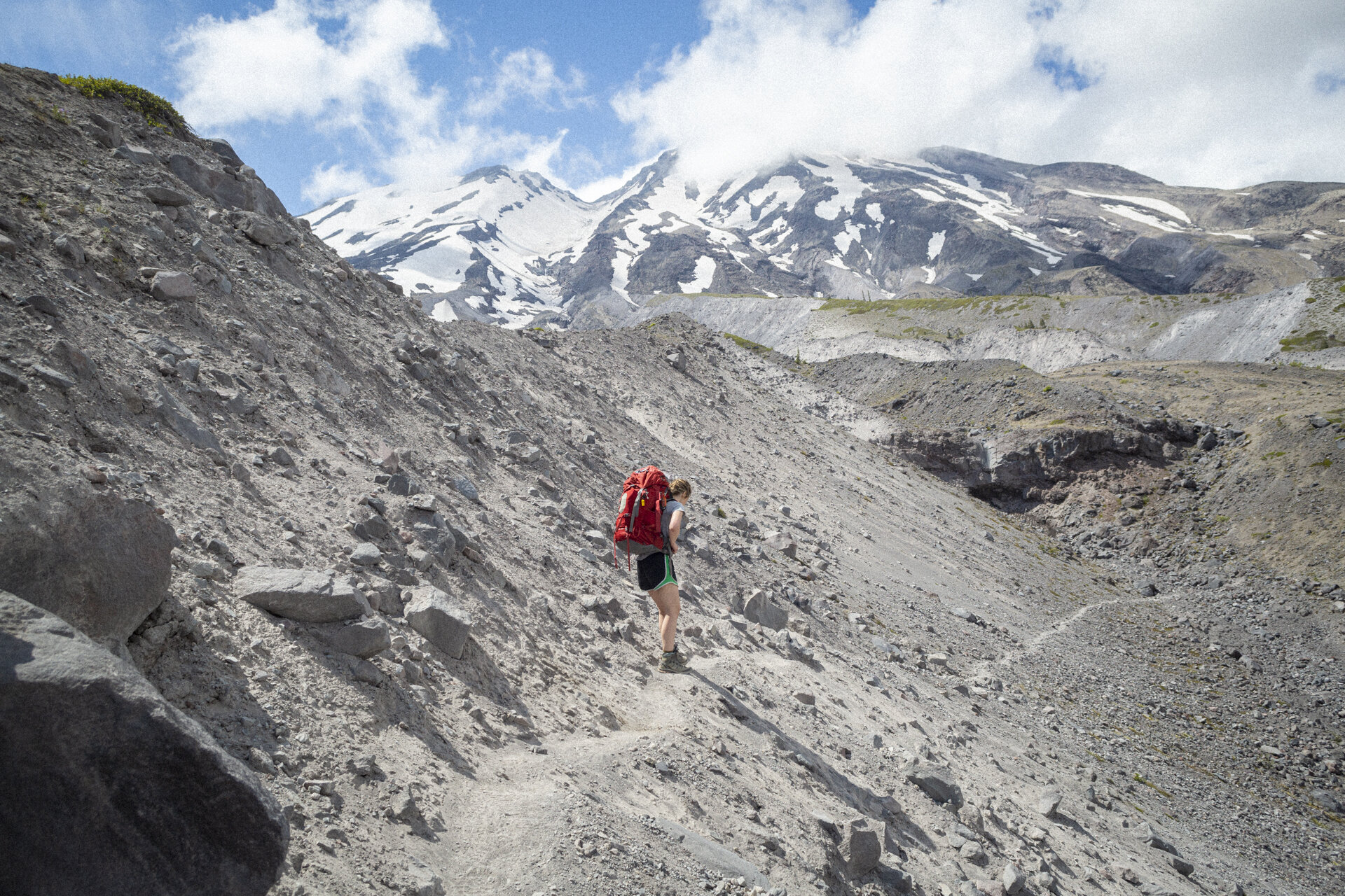
The following day was a long one; first uphill through dense forest, and then through never ending boulder fields which did a great job of slowing us down. We must have been covering only about half a mile per hour for hours at a time. We did pass through some interesting steep meadows smelling strongly of mountain goats. Joanna even spotted a few tufts of their fur. But the skies were overcast, and the mountain was hiding. For most of the day, I found my attention drawn to the number of hot spots I was feeling on my feet.
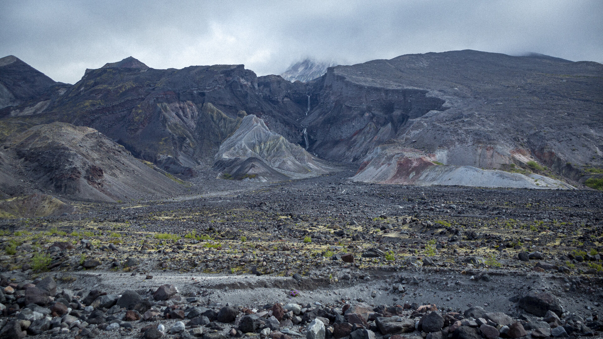
That night, we camped a stone’s throw from Chocolate Falls, a common landmark to look for when climbing the mountain. I had finally fallen asleep when Joanna nudged me awake. “Nick! Something is trying to get into the tent!” I hadn’t seen or heard anything, but Joanna was sure that she’d heard something breathing and then seen a tail exiting our tent vestibule. How large it was, she couldn’t say. Immediately, my imagination went to coyotes and mountain lions. I put on my boots and stood guard outside, ready to shine a flashlight on our intruder and then to figure out what to do about it. But it never showed. The next morning, Joanna discovered that the nipple on her hydration pack had been chewed by a small rodent. I wasn’t too happy to have missed a second night of sleep for that.
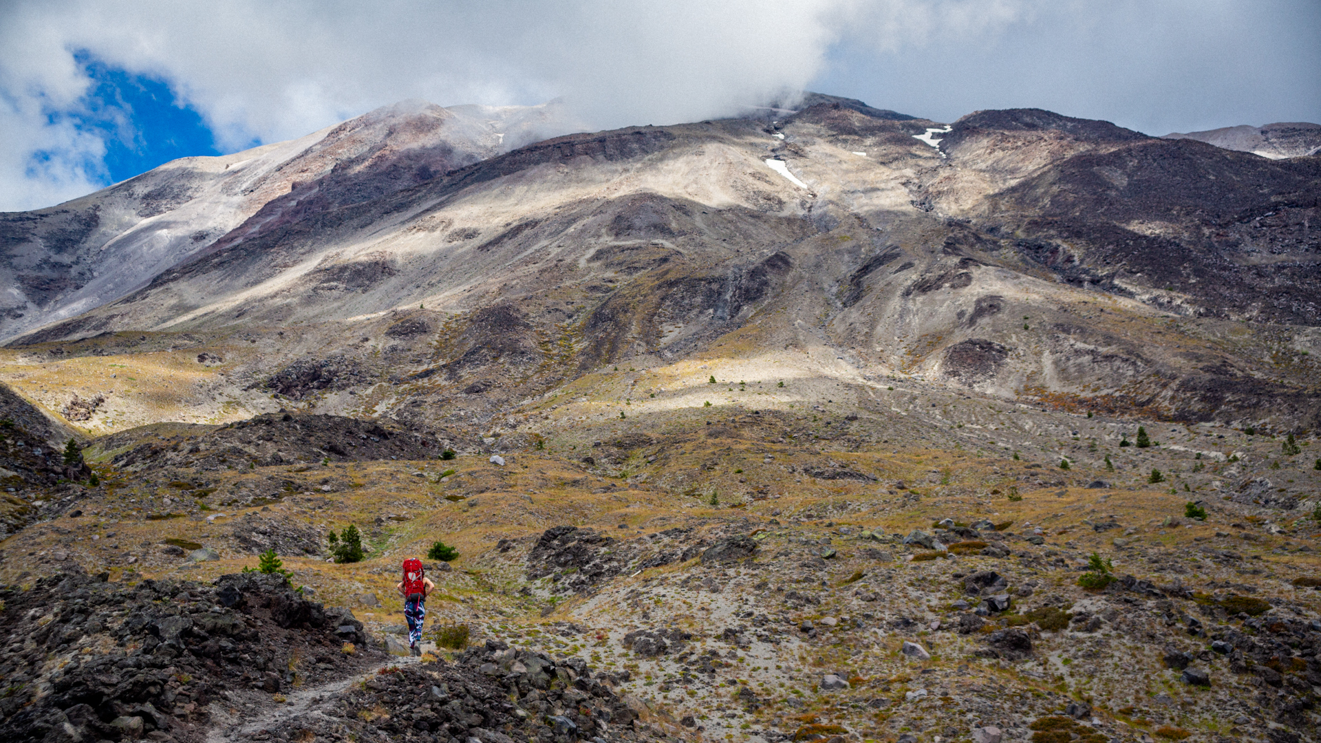
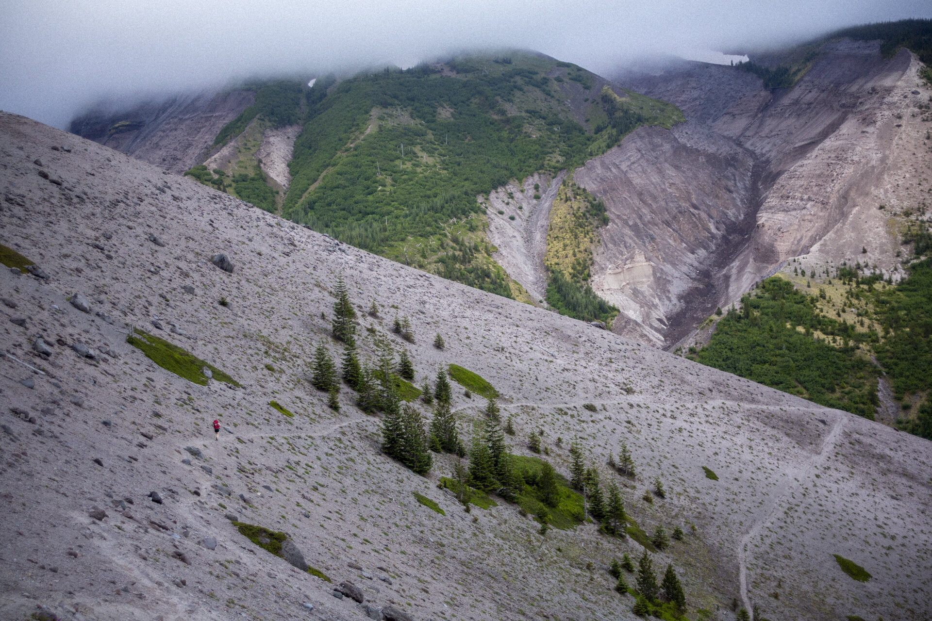
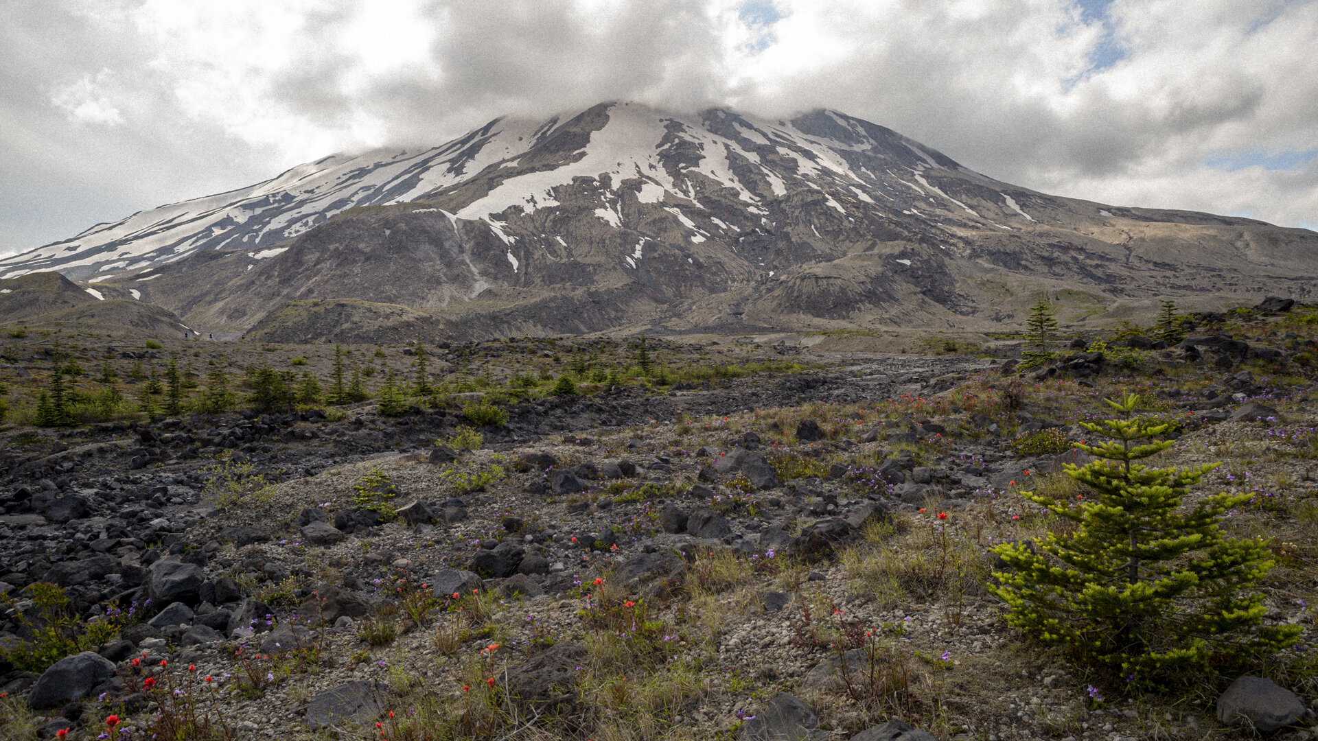
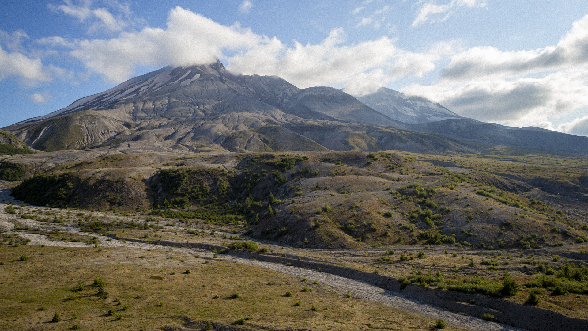
The final day was perhaps the most spectacular. After a few more boulder fields, we scampered up and down several dusty gullies before arriving at the Plains of Abraham. Similar to the blast zone, the vegetation was sparse. But this was a side of the mountain I’d never seen and was by far my favorite. The mountain was so close that it took up my entire field of vision. The wildflowers really popped against the gray rock.
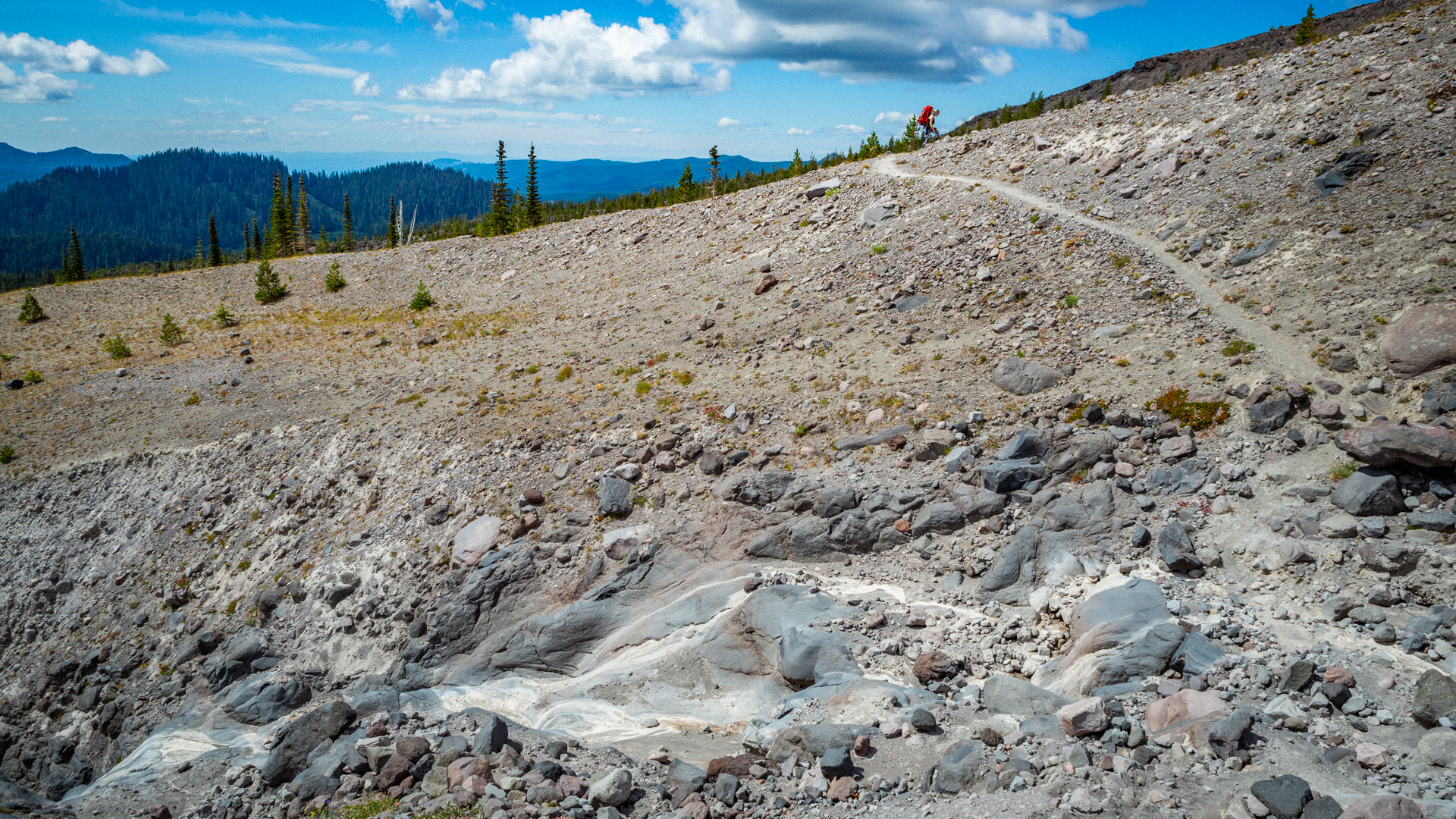
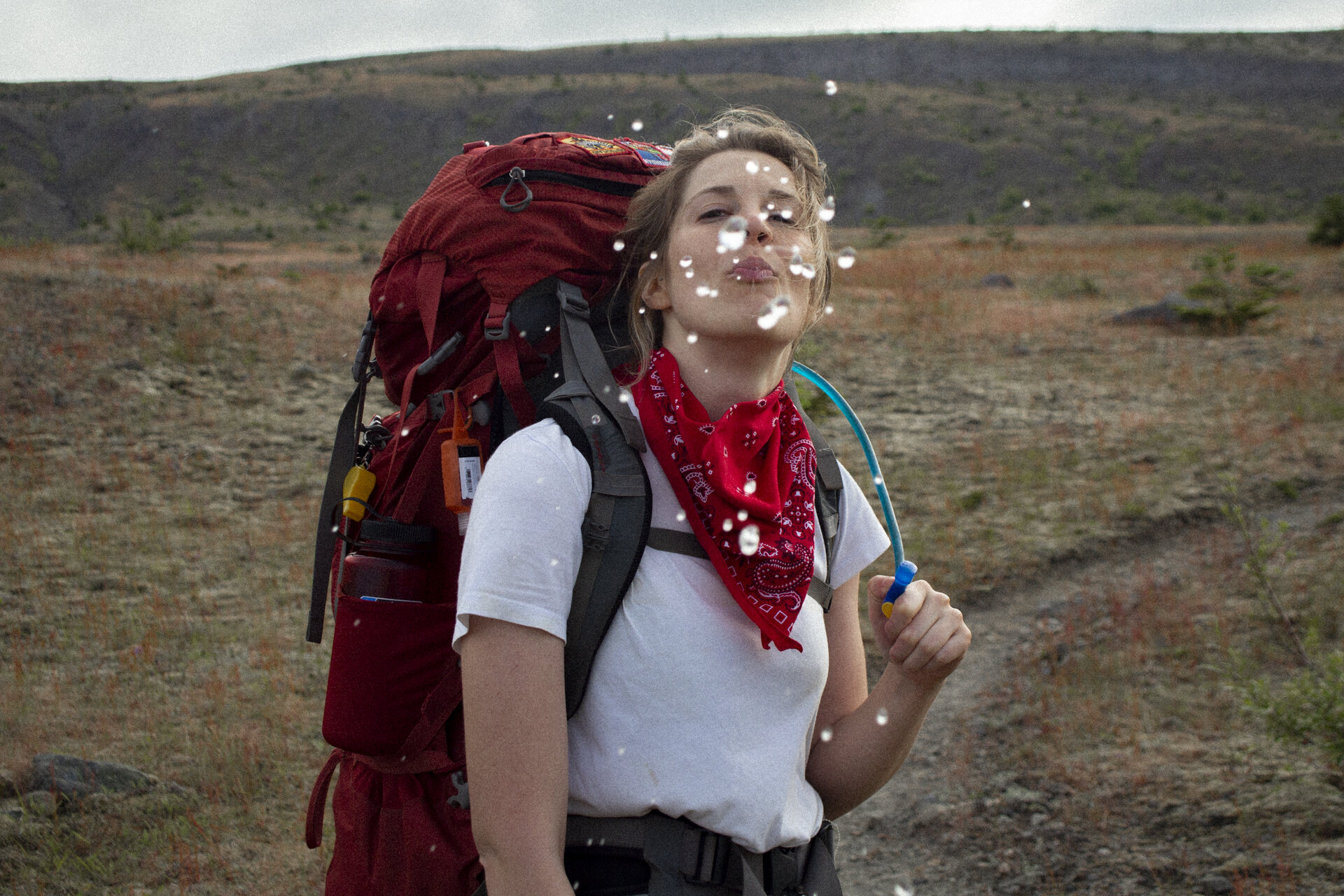
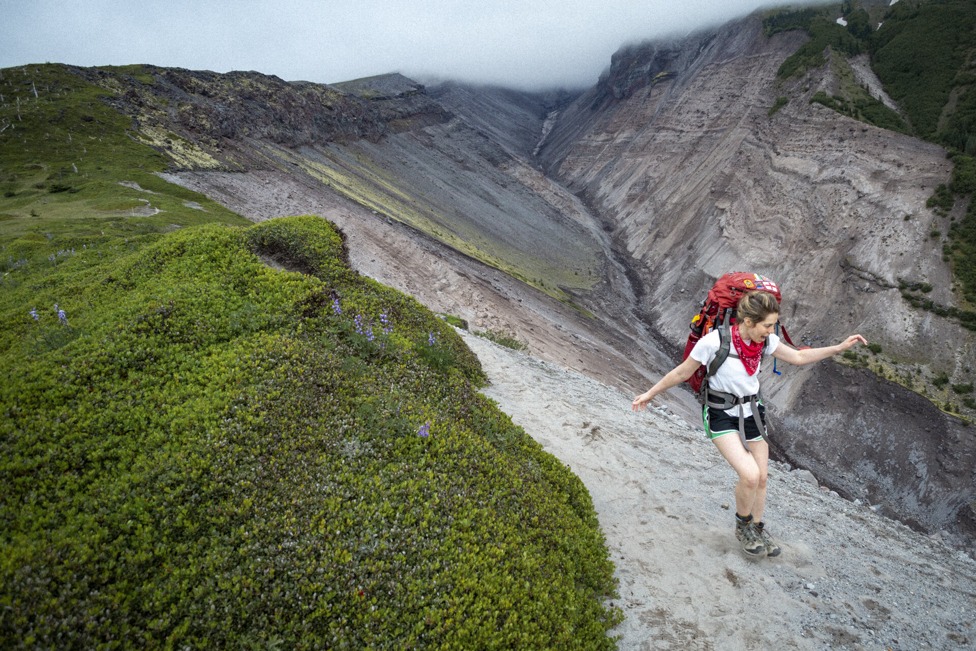
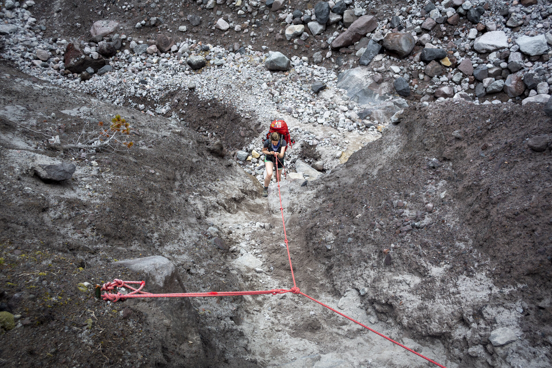
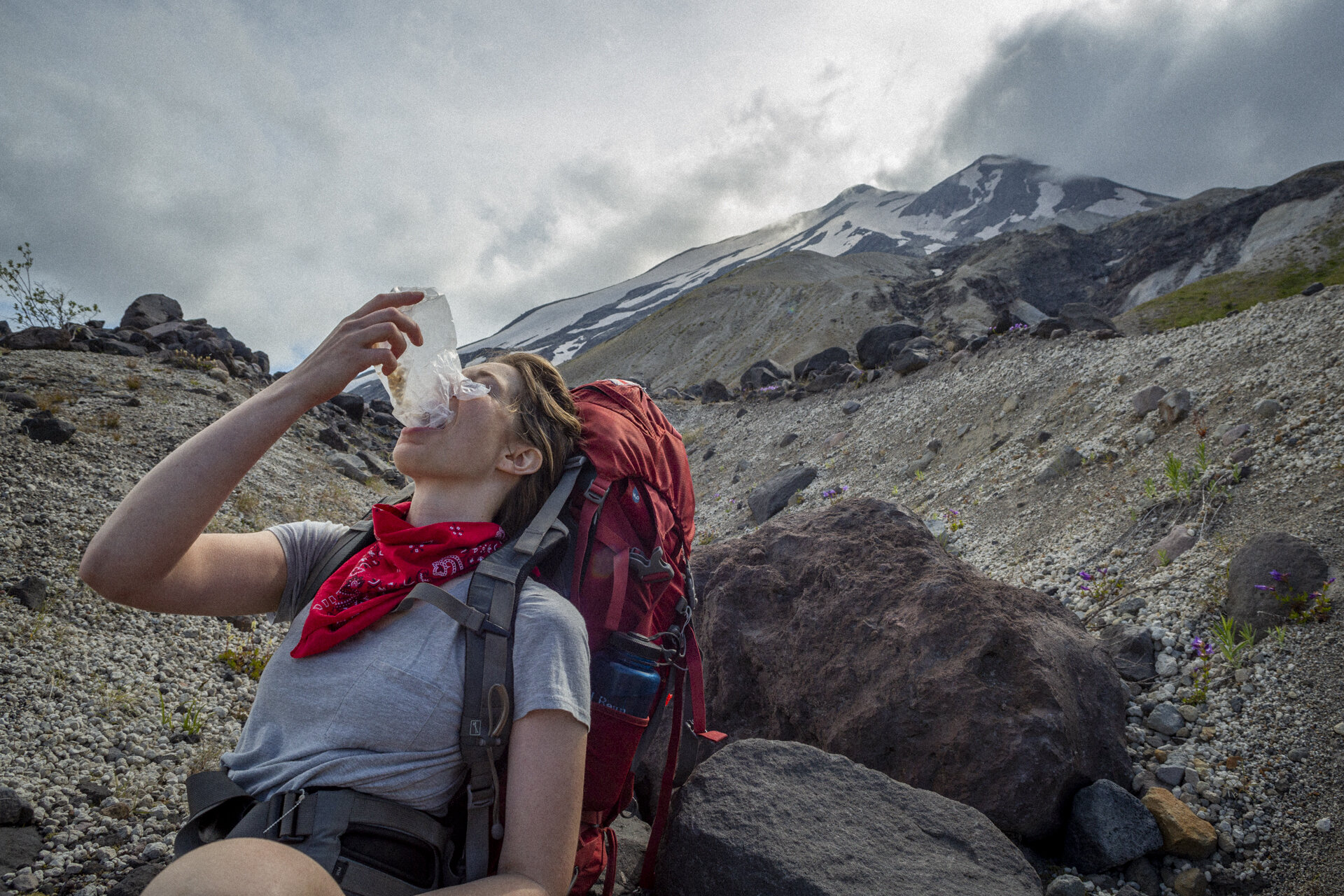
At the other end of the plains was Windy Pass. This was the most treacherous part of our hike. A slip could have easily resulted in a deadly tumble to the bed of boulders below — which isn’t something that is fun to think about when you’re top-heavy with an 45 pounds on your back. As soon as we crested the trail into the saddle, we were on the sunny side of the mountain. We burst out of the other side to sprawling views of the blast zone and Spirit Lake in the distance. There was even a herd of mountain goats on a bluff nearby, soaking up the sunshine.
A few easy miles later and we were back at our car; stiff, sore, and happy.