

This weekend, we camped at Cold Springs campground near Metolius and did a little day hike out to Upper Chush Falls. On the way back, the wildfire smoke rolled in on strong winds. We hiked through a burnout and stopped to listen to the otherworldly creaking and squealing of the dead trees in the murky air. Angela took a fall and picked up some pretty gnarly splinters. I tried to dig them out with my knife but only managed to extract one.
Mt Margaret

It was smoky, hot, and without a breeze on Mt Margaret today. Just when it seemed like a good time to pat ourselves on the back for toughing it out... along came the ultra distance runners.
The Bigfoot 200 is an annual 206.5 mile race (with 42,000 feet of elevation gain) that starts at Mt Saint Helens and finishes in Randle, WA. Most participants complete the course in 4.5 days or less. I looked it up afterwards, and you can actually track the runners in real time. They are 38 hours in right now and it looks like most of them are resting for a few hours between the 75 and 125 mile markers (a couple of the leaders are running by headlamp over extremely uneven terrain!). By the time you read this, the guy in the lead may already be finished if he keeps ups his current pace.
Talk about tough!
Coast Hike: Bandon to Port Orford
With wildfire smoke to the South and East, and rain to the North, we tried a totally something totally different this weekend. Taking a page from the excellent CleverHiker blog, we did a beach hike from Bandon to Port Orford. Thirty miles in two days on sand really pushed us to our physical limits. This would probably be a lot more enjoyable in two nights and three days, but we only had the weekend.
We drove down to Port Orford from Portland on Saturday in both cars. We left one in Port Orford and the other in Bandon. We would have hitchhiked but decided that it was too risky in the midst of the recent Delta Covid spike.
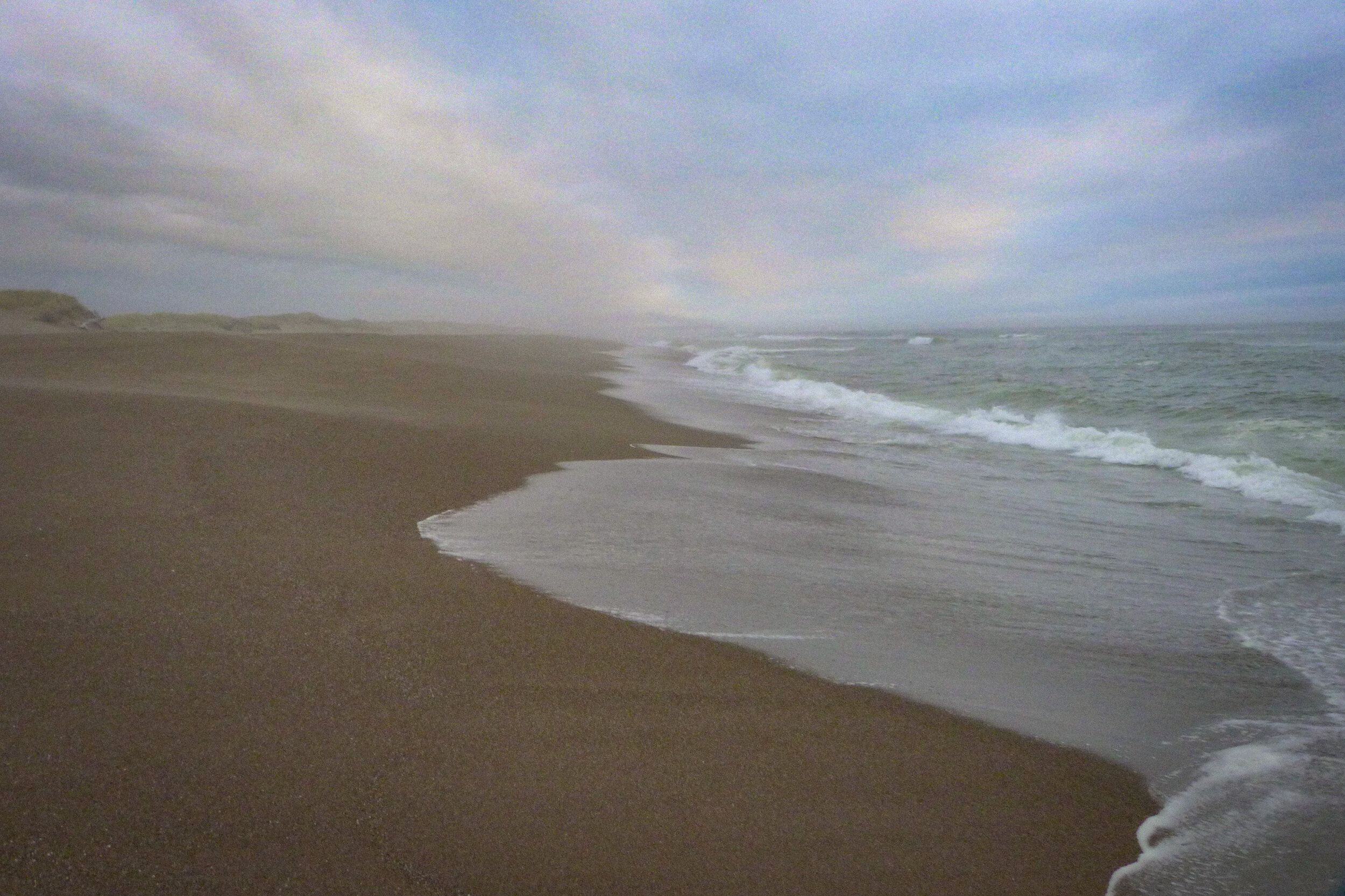
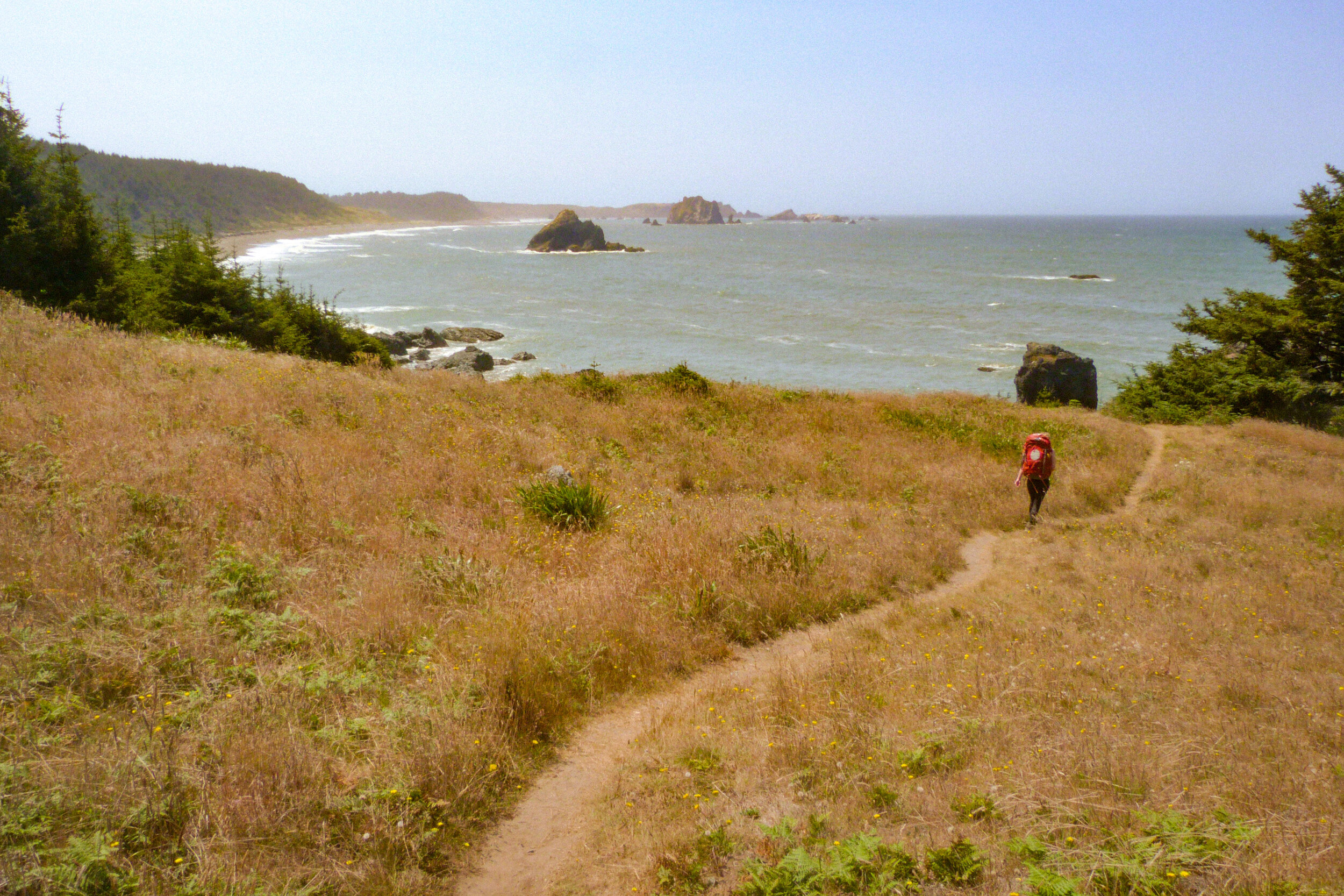
With all of the logistics and travel out of the way, we started our hike at around 3pm. For anyone planning to do this hike, I think this was far too late. The snowy plover nesting area begins about two miles past Bandon and continues to around mile 16 at Floras Lake. Our plan was to push through this section, but we underestimated how much hiking on sand at high tide would slow us down — neither of us had ever done a beach backpack before.
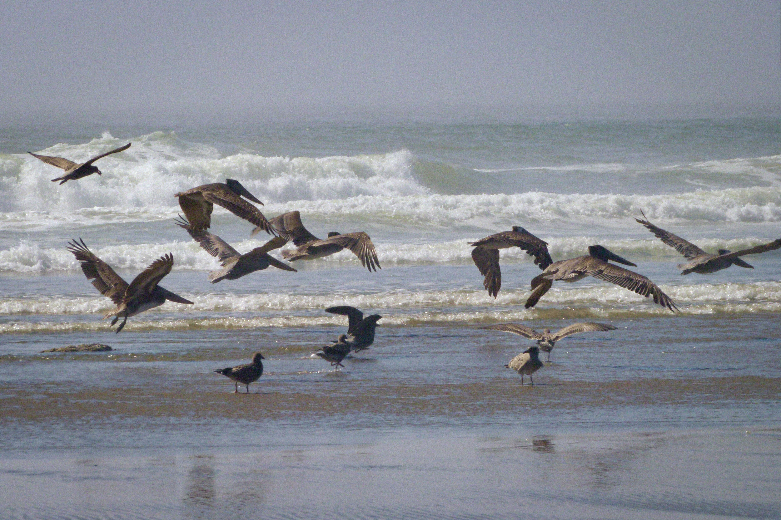
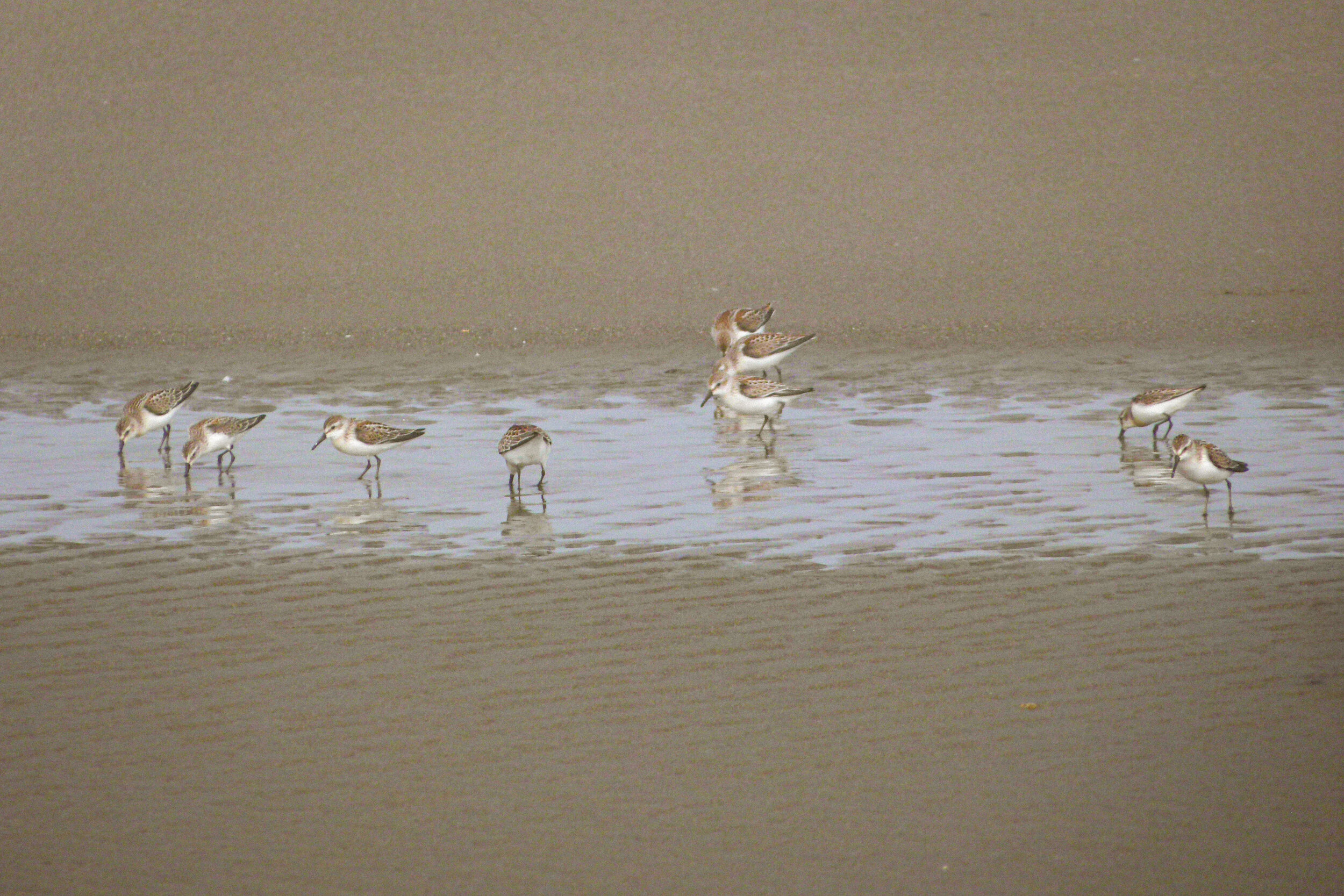
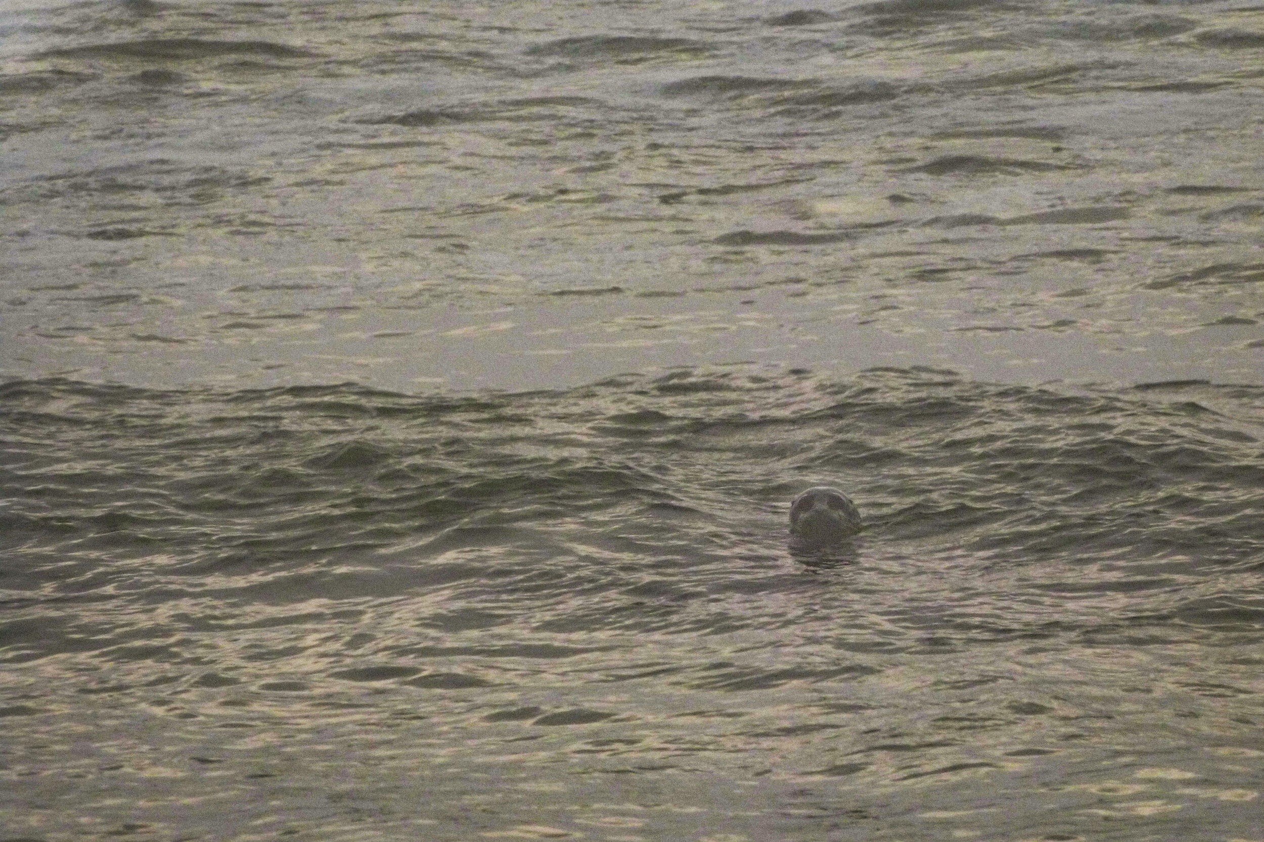
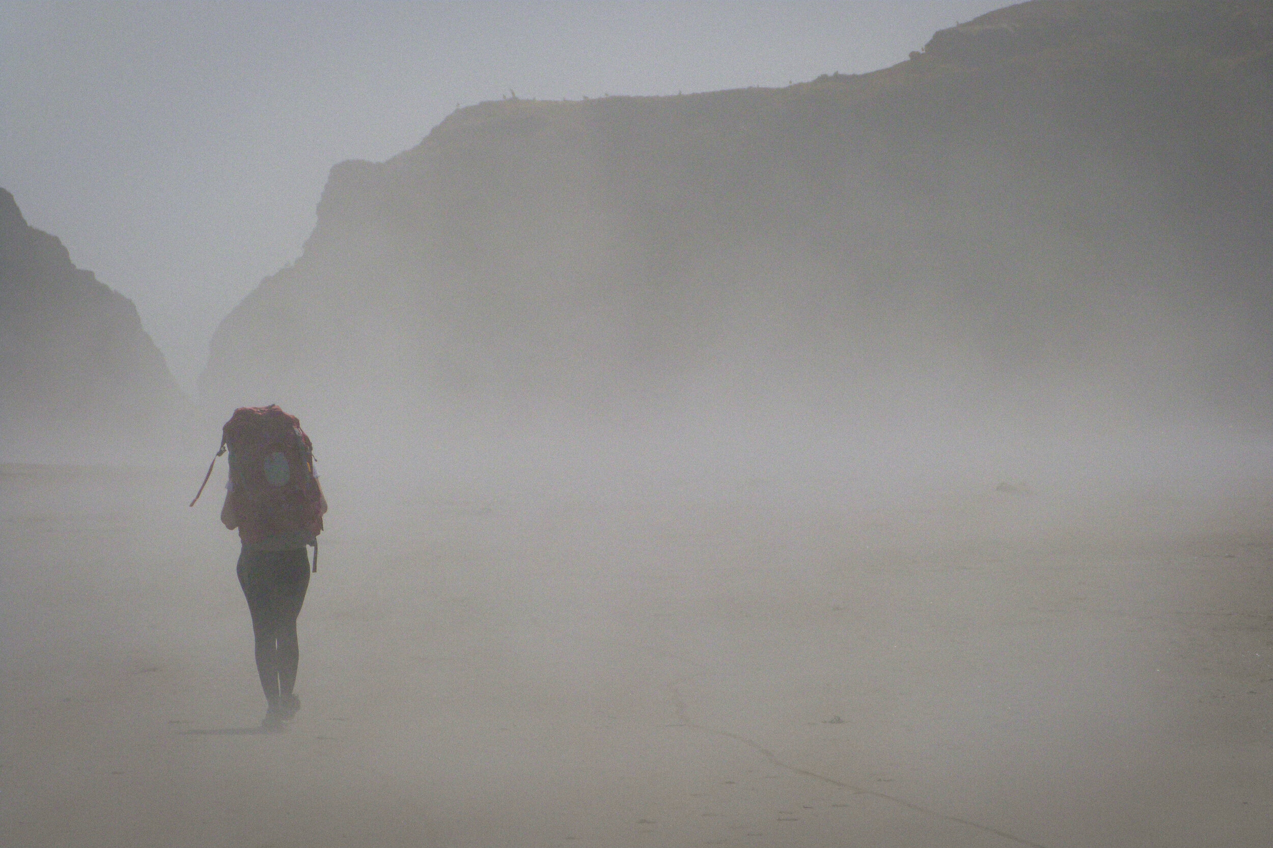
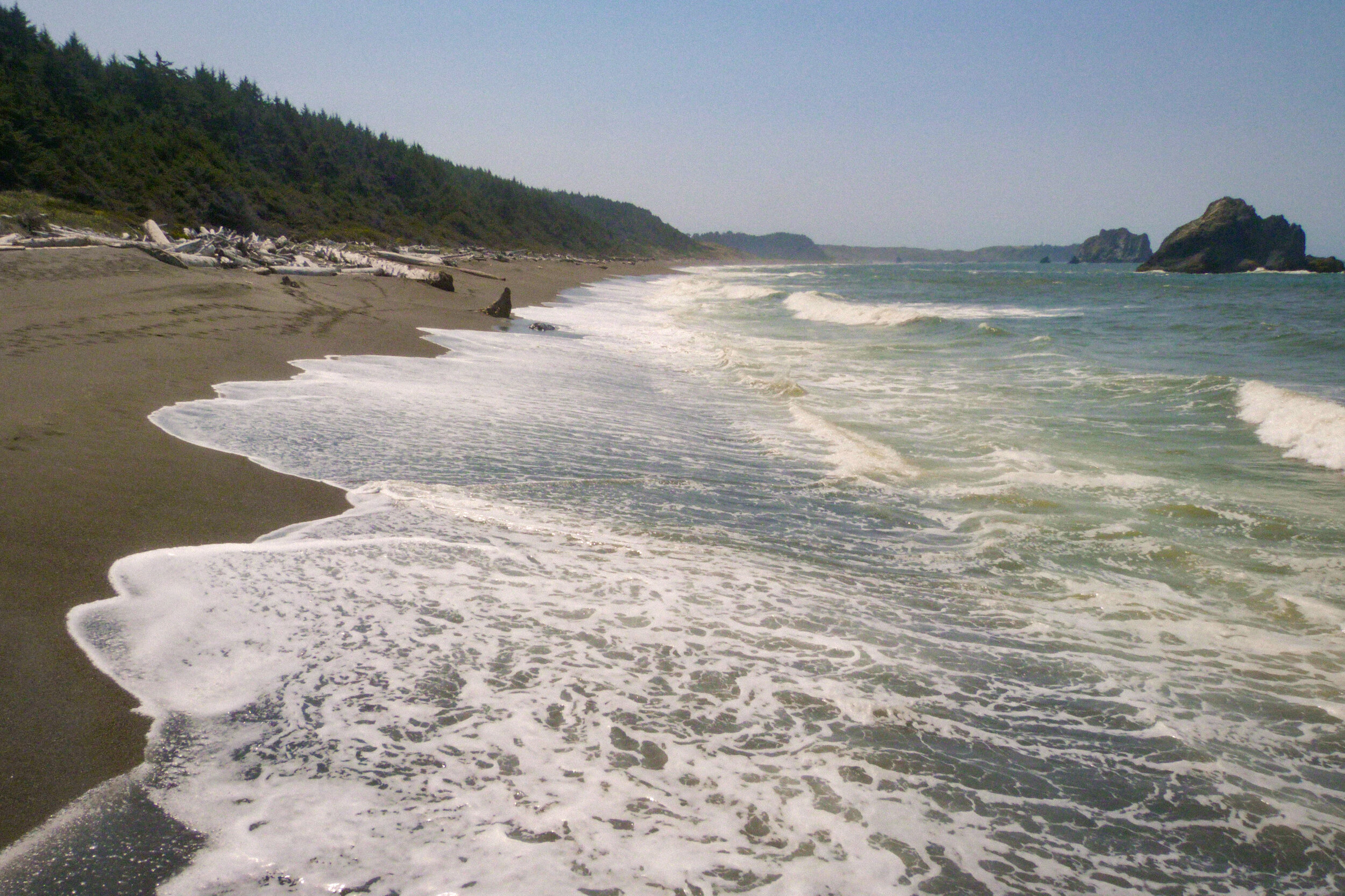
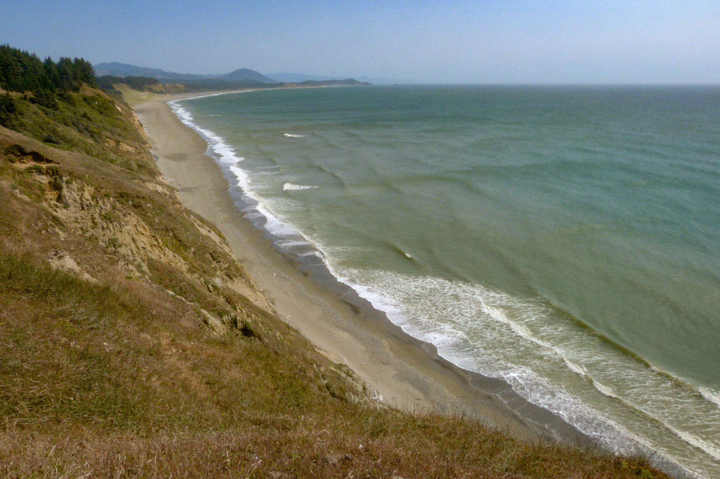
In Bandon, we marveled at the amazing rock formations and cliffs. The wet sand was evaporating, sending waves of mist floating down the beach. It was a beautiful day. And then suddenly, we were the only people we could see. We didn’t see another human for the next 18 hours (and only one boat). The sky misted over and before long we were socked in, without any landmarks visible in front of or behind us. Every once in a while, a seal would peer at us from the waves. But other than that, it was just us and the crashing surf for miles and miles.
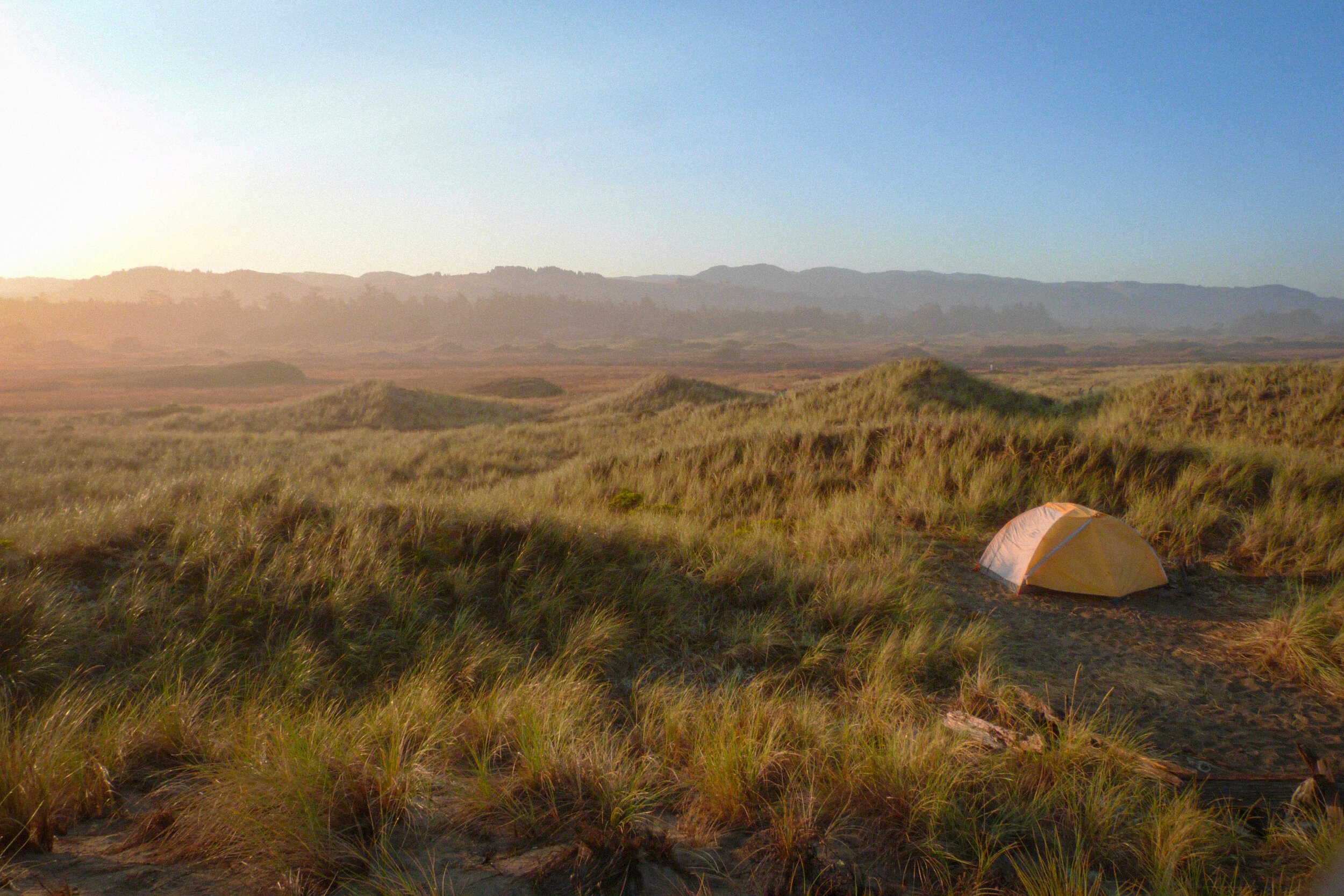
We made it to the BLM primitive campsite at the 12 mile mark at around 8pm. We expected that it would be full, but there was no one else there — lucky! There are actually two, or maybe even three sites. We got our tent up just as it started raining — double lucky! We ate hurriedly and went to bed. The next morning, we awoke to find the sun shining. The world was covered with dew. Knowing that we had an 18 mile day ahead of us, we packed up quickly and got back down to the beach. Everything seemed a lot more hopeful in the sunshine.
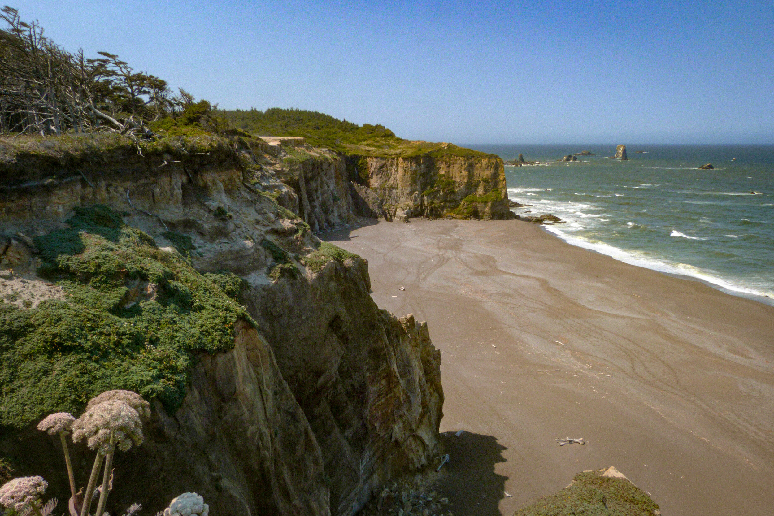
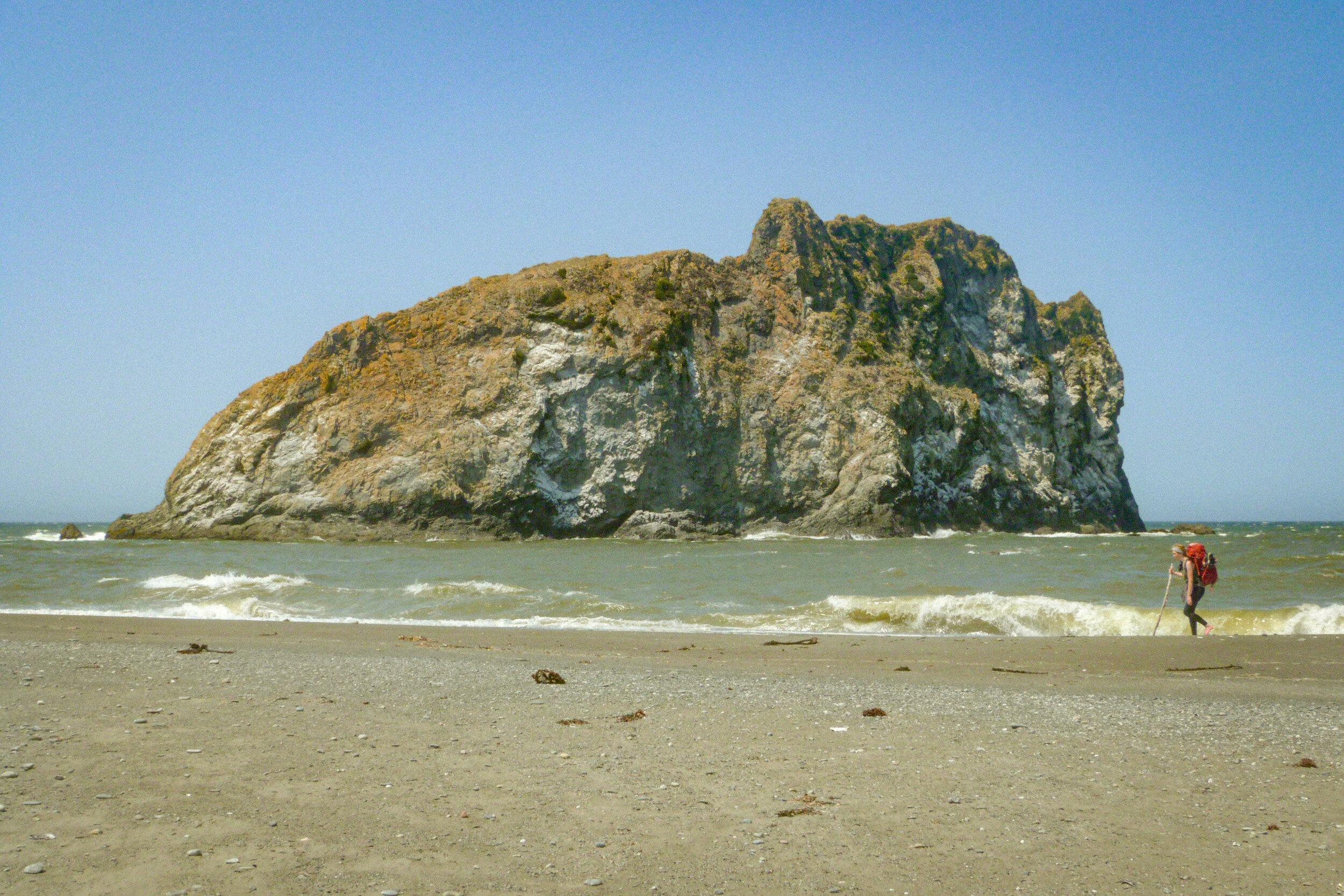
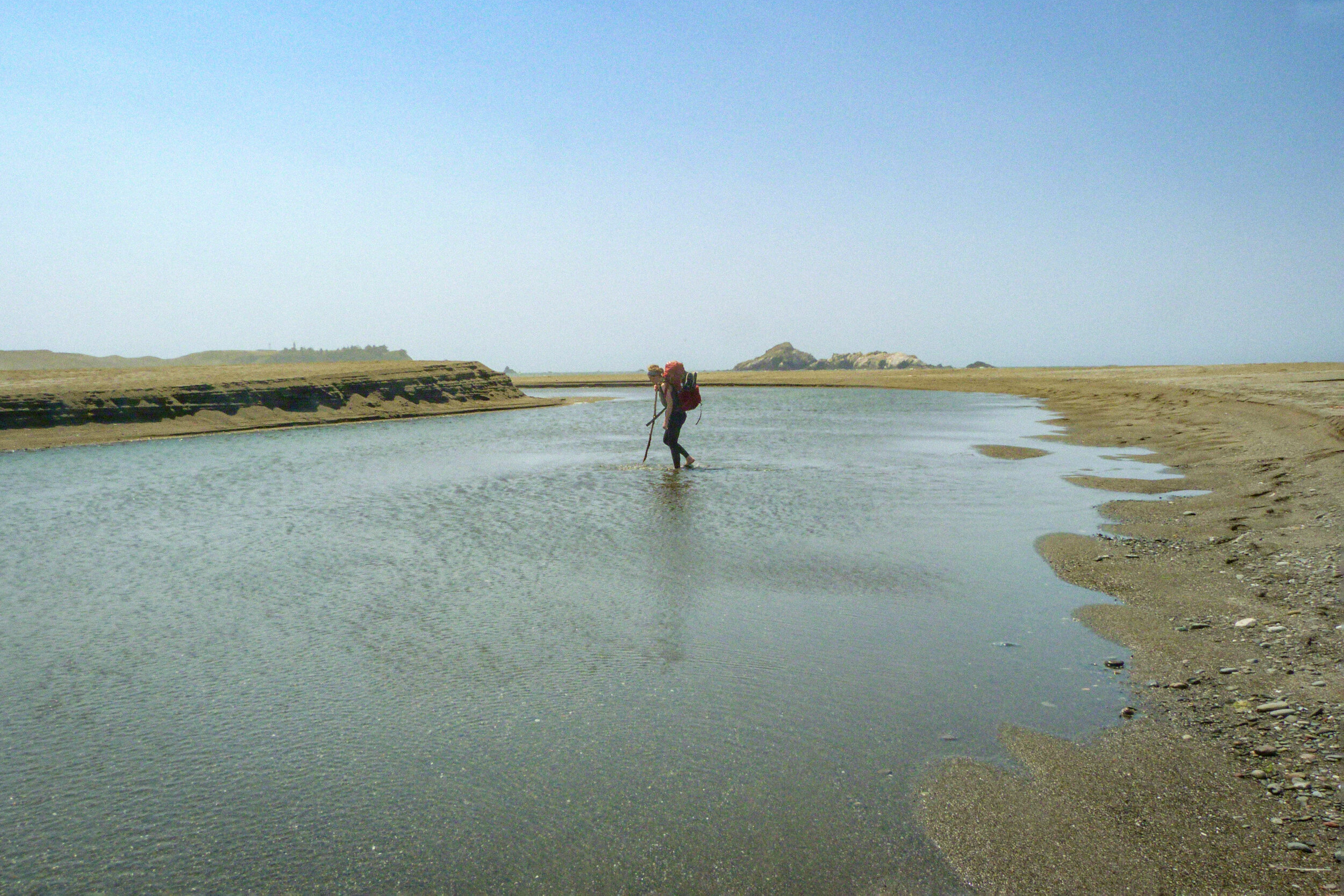
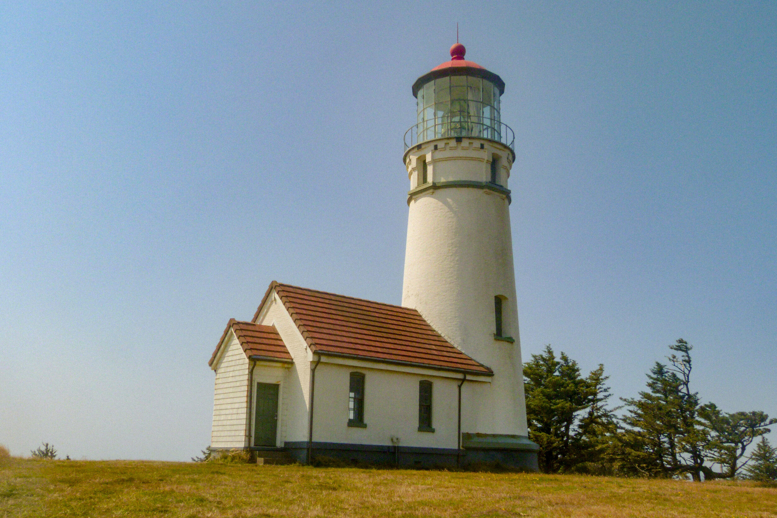
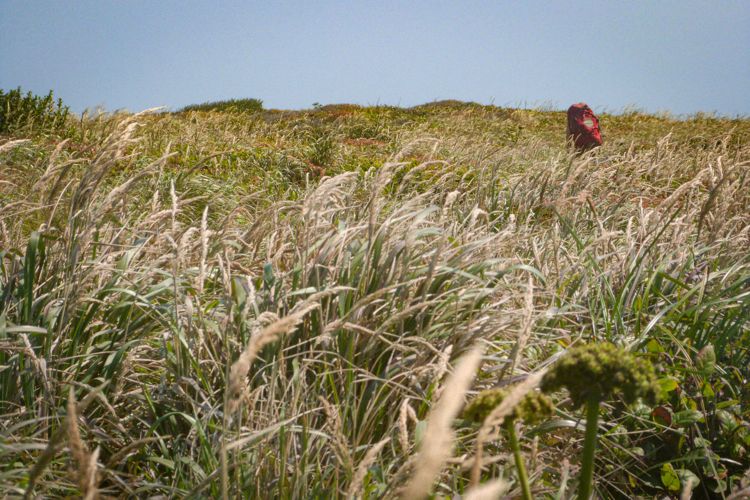
We refilled out water bottles at the Floras Lake campsite and left the beach to head up to Blacklock Point, which was a great viewpoint for lunch. There were also some nice shaded campsites under the trees, with fresh water access from a stream. Then it was across Sixes River (knee high in August) and down Sixes Beach to the lighthouse at Camp Blanco, the light from which I could have sworn that I'd seen the evening before at the BLM camp, even through the thick fog.
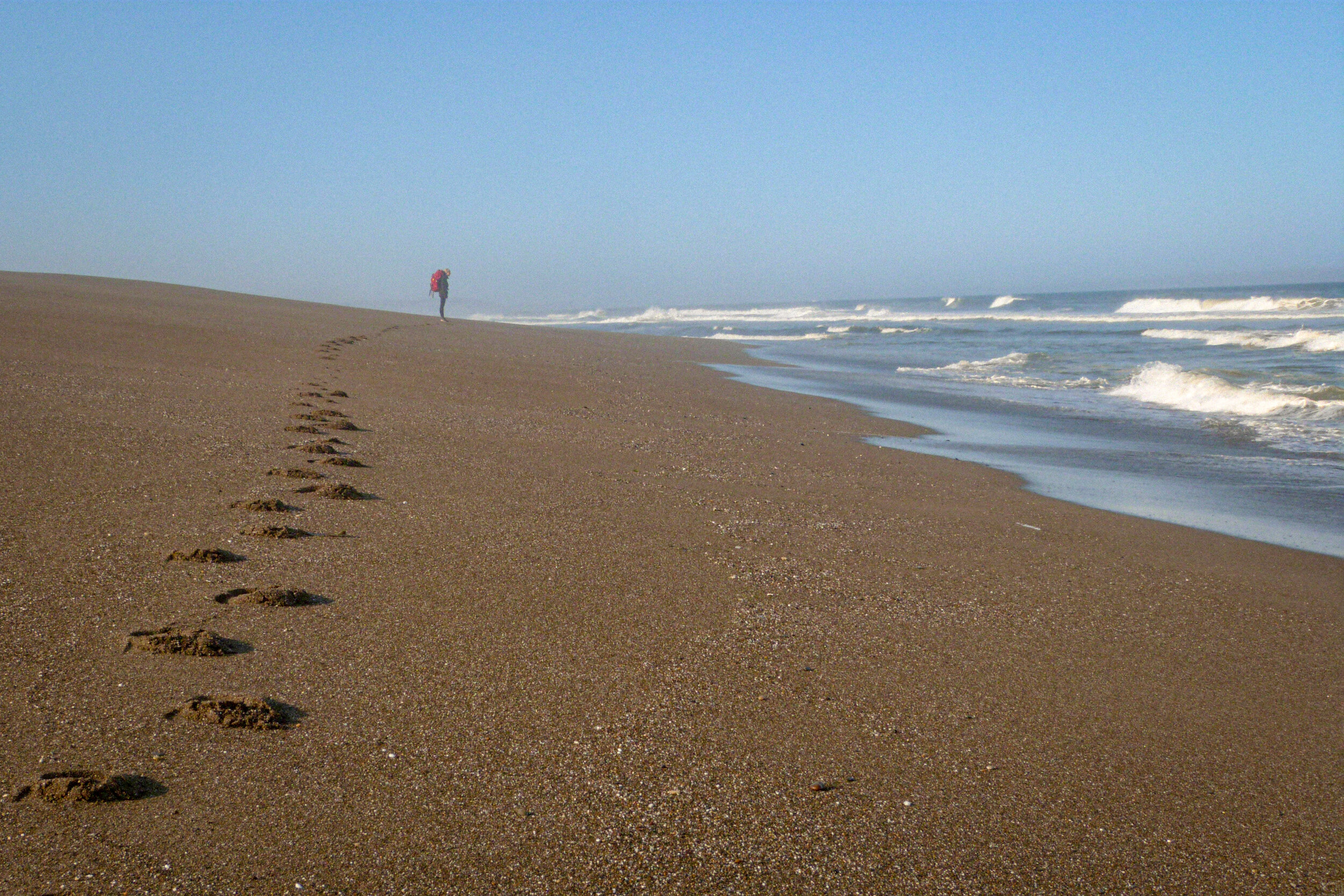
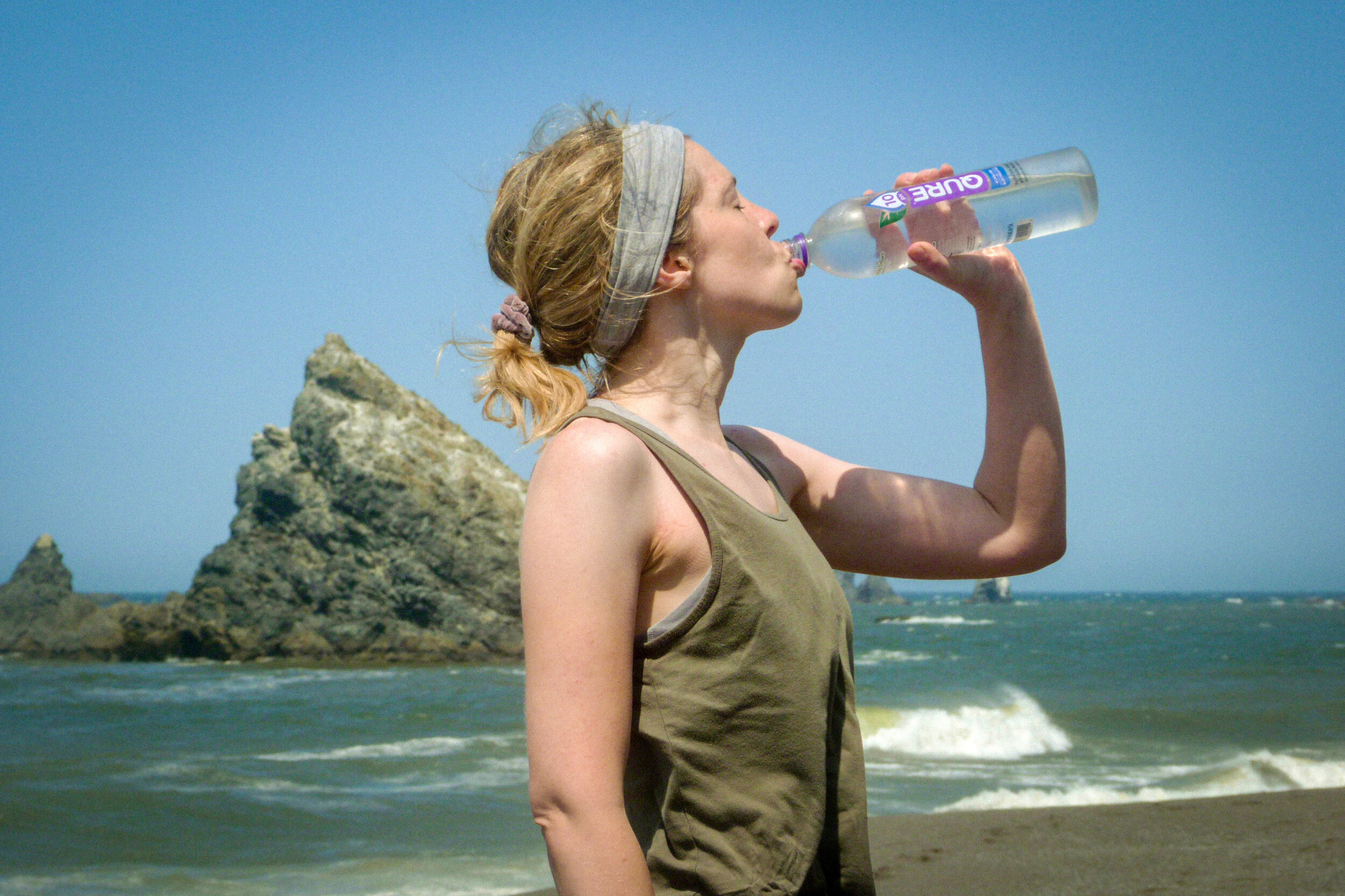
The most involved river ford was Elk River, which came next. The water was mid-thigh for me. Afterwards, we hiked down the beach with the wind blasting us from behind. It sent the sand swirling away from us at high speeds. By the time we got to Agate Beach, we were physically spent. Joanna had blisters on seven of her toes from her trail runners. Fortunately, I had my boots, but I was nursing a sore ankle — there's nothing like a long day of sidehilling in the same direction to make your feet hurt. We busied ourselves looking for interesting rocks and sea glass on the beach. There was plenty to look at.
Finally, we limped into Port Orford and picked up the car. We got takeout in Bandon and started the 4-hour drive back to Portland.
So, would I recommend this hike? Probably not the way we did it. For those with only two days, I’d actually suggest starting at the Floras Lake campground, or camping in the trees near Blacklock point, and then doing an out-and-back hike to Cape Blanco. That would give you access to the highlights of the trip, in my opinion, without all of the blisters and hand-wringing! And as Dave and Annie noted in their blog, there are remarkably few people out there. I think we saw only about twenty people in the 28 miles after leaving Bandon.
A little note on the photography on this post. Knowing that we’d be in sand and seawater, I brought my cheapest and worst camera because I could afford to lose it. It only captures 12MP JPEGs and the image quality is basically what I’d expect from a 10-year-old iPhone, basically approaching glitch art territory. But it does have nice zoom that came in handy.